
RessourcesBibliothèques de symboles DWG
Symboles de carte géologique gratuits pour AutoCAD (DWG) : structures, failles et plis, puits, stations météo
Symboles de carte géologique : 165 blocs AutoCAD (DWG) prêts à l'emploi, à télécharger gratuitement et à utiliser dans vos projets, en un ZIP ou symbole par symbole.
165 symboles de carte géologique à la taille de tracé, 1 unité de dessin = 1 mm, pour cartes géologiques, minutes de terrain et rapports : symboles de direction et de pendage pour la stratification (horizontale, inclinée, verticale, renversée, sommet connu, granoclassée, entrecroisée), le clivage et le clivage ardoisier, et la foliation (générale, rubanement de flux, tectonique, eutaxitique, parallèle à la stratification, de cumulat), chacun en observation unique et en observations multiples sur un même affleurement avec le sens du pendage ; 21 types de linéation (séparation, strie de faille, objets alignés et étirés, rodding, mullions, boudins, structure en crayon, intersections) en forme inclinée et horizontale ; échantillons de traits de 30 mm pour contacts, failles (précises, approximatives, présumées, masquées, douteuses), chevauchements, failles normales, décrochements et axes d'anticlinaux et de synclinaux ; puits d'eau d'irrigation et industriels (artésien, d'injection, d'observation, sec, détruit, trou d'essai) et stations météo.
Version 1.0 · mise à jour le 22 octobre 2026 · Découvrez les nouveautés
Vous utilisez AutoCAD 2017 ou une version antérieure ? Télécharger le format 2010
Libres d'utilisation et de modification dans vos propres projets, y compris commerciaux. Le ZIP contient un simple fichier DWG au format AutoCAD 2018 et un README ; aucun complément nécessaire. Fournis en l'état, sans garantie.
Bibliothèques de symboles associées
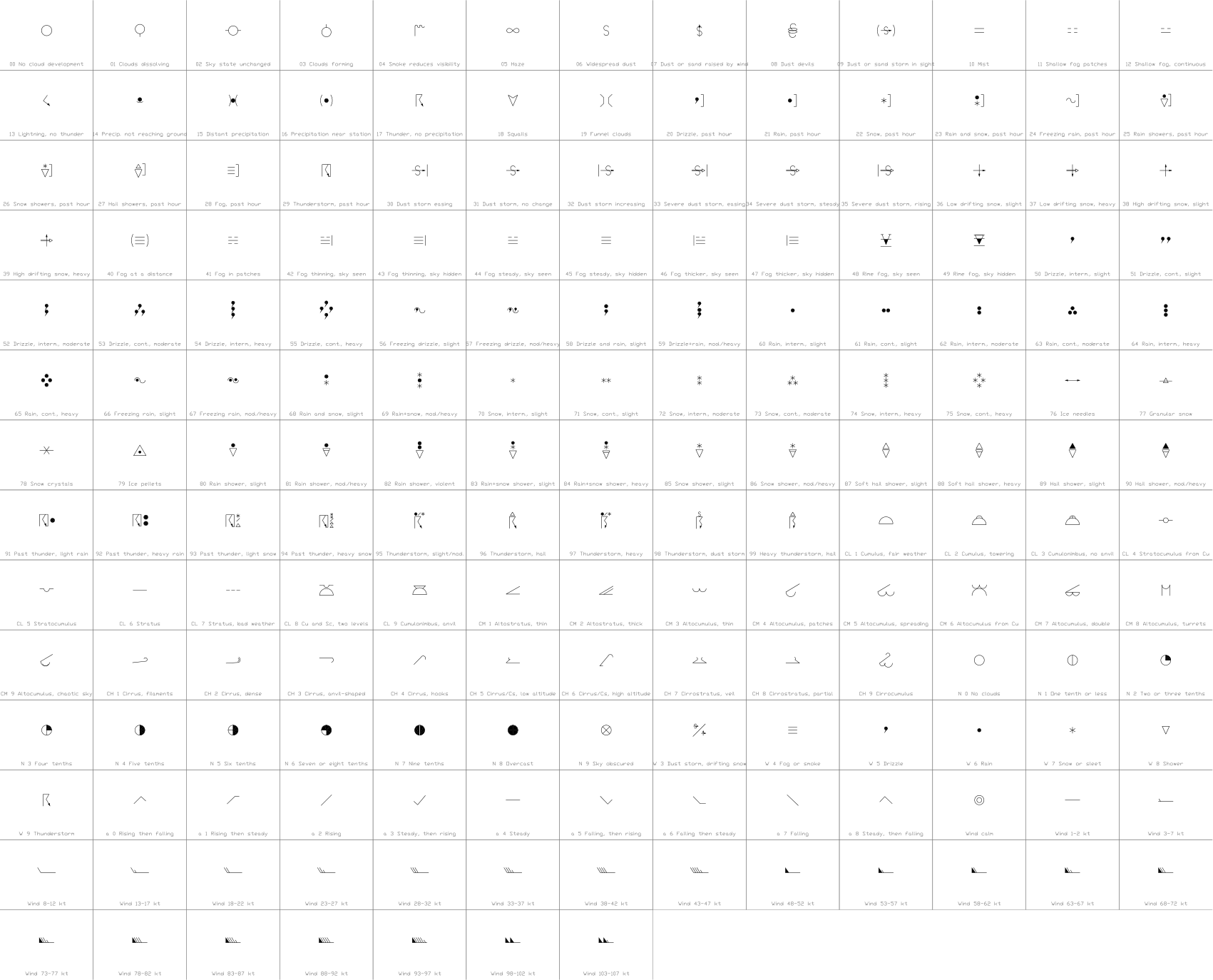
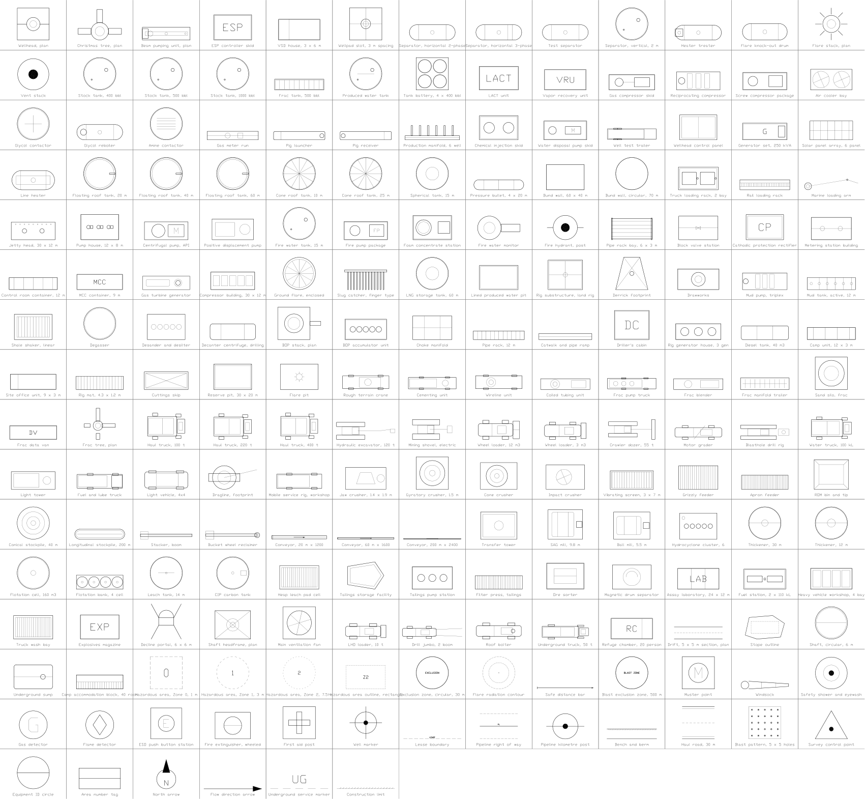
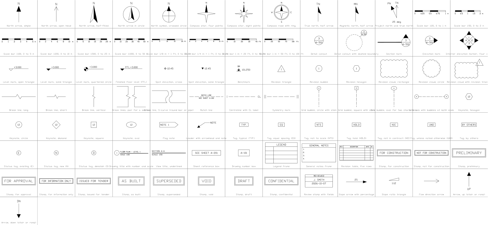
À utiliser avec ces outils
 Ces symboles vont dans 30 plans ?Remplacez un symbole modifié dans tous les plans en une seule exécution, sans ouvrir chaque fichier.Découvrir BlockCopy
 Besoin de compter ces symboles dans vos plans ?Exportez vers Excel tous les symboles et leurs attributs d’un jeu de plans complet, modifiez les lignes puis réécrivez-les.Découvrir BlockSync
 Quels plans utilisent ce symbole ?Recherchez blocs et textes dans des centaines de plans d’un coup, puis allez directement au résultat.Découvrir DwgSearch
Les 165 symboles
165 symboles sur 165
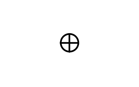
Stratification, horizontal
Bedding, horizontal
GEO_BED_HORIZONTALAttributs
STATION_IDSTRIKE_DEGOBSERVED_BYOBS_DATEREMARKSDESC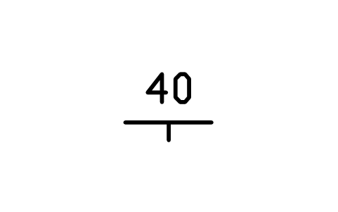
Stratification, incliné
Bedding, inclined
GEO_BED_INCLINEDAttributs
DIPSTATION_IDSTRIKE_DEGDIP_DIRECTIONOBSERVED_BYOBS_DATEREMARKSDESC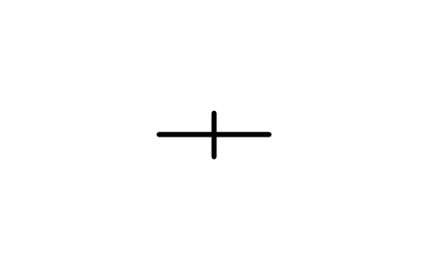
Stratification, vertical
Bedding, vertical
GEO_BED_VERTICALAttributs
STATION_IDSTRIKE_DEGOBSERVED_BYOBS_DATEREMARKSDESC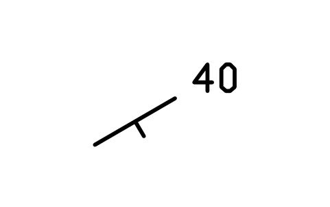
Stratification, multiple, à droite
Bedding, multi right
GEO_BED_INCLINED_RIGHTAttributs
DIPSTATION_IDSTRIKE_DEGDIP_DIRECTIONOBSERVED_BYOBS_DATEREMARKSDESC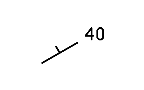
Stratification, multiple, à gauche
Bedding, multi left
GEO_BED_INCLINED_LEFTAttributs
DIPSTATION_IDSTRIKE_DEGDIP_DIRECTIONOBSERVED_BYOBS_DATEREMARKSDESC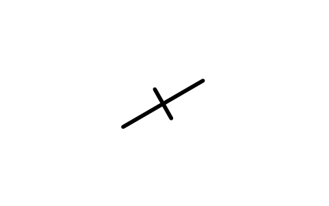
Stratification, multiple, vertical
Bedding, multi vert.
GEO_BED_VERTICAL_MULTIAttributs
STATION_IDSTRIKE_DEGOBSERVED_BYOBS_DATEREMARKSDESC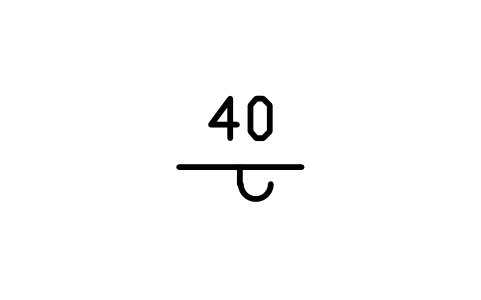
Stratification renversée
Bedding, overturned
GEO_BED_OVERTURNEDAttributs
DIPSTATION_IDSTRIKE_DEGDIP_DIRECTIONOBSERVED_BYOBS_DATEREMARKSDESC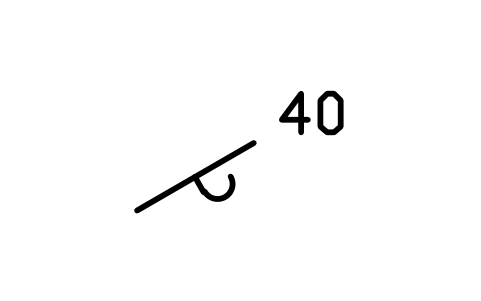
Stratification renversée, à droite
Bedding, overturned, right
GEO_BED_OVERTURNED_RIGHTAttributs
DIPSTATION_IDSTRIKE_DEGDIP_DIRECTIONOBSERVED_BYOBS_DATEREMARKSDESC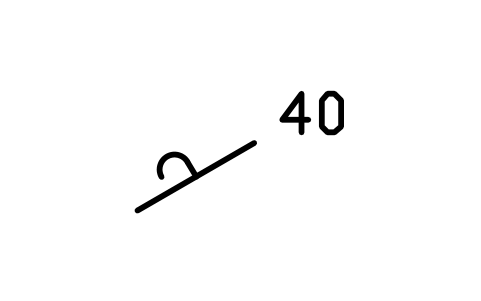
Stratification renversée, à gauche
Bedding, overturned, left
GEO_BED_OVERTURNED_LEFTAttributs
DIPSTATION_IDSTRIKE_DEGDIP_DIRECTIONOBSERVED_BYOBS_DATEREMARKSDESC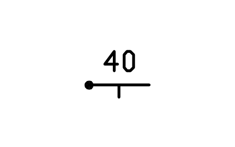
Stratification, sommet connu
Bedding, top known
GEO_BED_TOP_KNOWNAttributs
DIPSTATION_IDSTRIKE_DEGDIP_DIRECTIONOBSERVED_BYOBS_DATEREMARKSDESC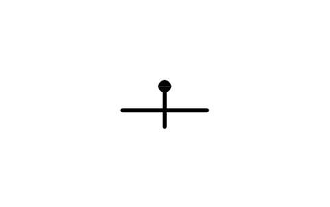
Stratification verticale, sommet connu
Bedding, vertical, top known
GEO_BED_TOP_KNOWN_VERTICALAttributs
STATION_IDSTRIKE_DEGOBSERVED_BYOBS_DATEREMARKSDESC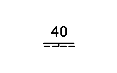
Stratification granoclassée
Bedding, graded
GEO_BED_GRADEDAttributs
DIPSTATION_IDSTRIKE_DEGDIP_DIRECTIONOBSERVED_BYOBS_DATEREMARKSDESC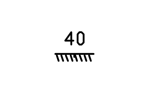
Stratification entrecroisée
Bedding, cross-bedded
GEO_BED_CROSSBEDDEDAttributs
DIPSTATION_IDSTRIKE_DEGDIP_DIRECTIONOBSERVED_BYOBS_DATEREMARKSDESC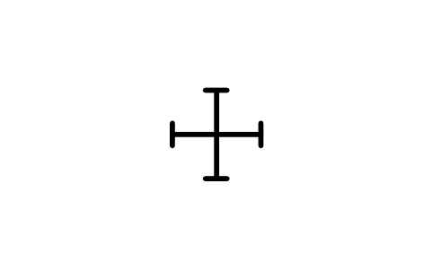
Clivage, horizontal
Cleavage, horizontal
GEO_CLV_HORIZONTALAttributs
STATION_IDSTRIKE_DEGOBSERVED_BYOBS_DATEREMARKSDESC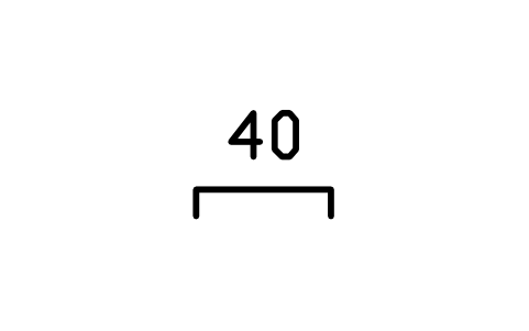
Clivage, incliné
Cleavage, inclined
GEO_CLV_INCLINEDAttributs
DIPSTATION_IDSTRIKE_DEGDIP_DIRECTIONOBSERVED_BYOBS_DATEREMARKSDESC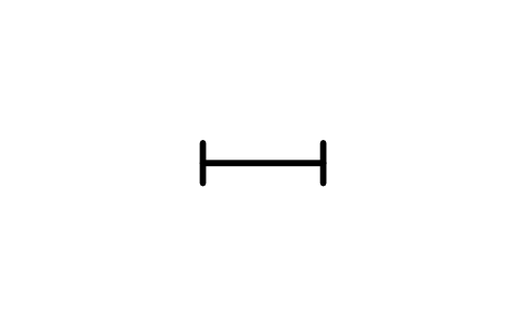
Clivage, vertical
Cleavage, vertical
GEO_CLV_VERTICALAttributs
STATION_IDSTRIKE_DEGOBSERVED_BYOBS_DATEREMARKSDESC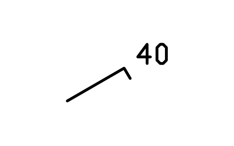
Clivage, multiple, à droite
Cleavage, multi right
GEO_CLV_INCLINED_RIGHTAttributs
DIPSTATION_IDSTRIKE_DEGDIP_DIRECTIONOBSERVED_BYOBS_DATEREMARKSDESC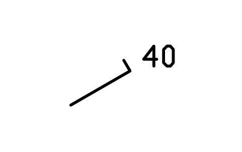
Clivage, multiple, à gauche
Cleavage, multi left
GEO_CLV_INCLINED_LEFTAttributs
DIPSTATION_IDSTRIKE_DEGDIP_DIRECTIONOBSERVED_BYOBS_DATEREMARKSDESC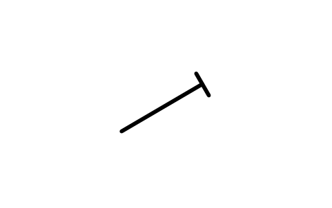
Clivage, multiple, vertical
Cleavage, multi vert.
GEO_CLV_VERTICAL_MULTIAttributs
STATION_IDSTRIKE_DEGOBSERVED_BYOBS_DATEREMARKSDESC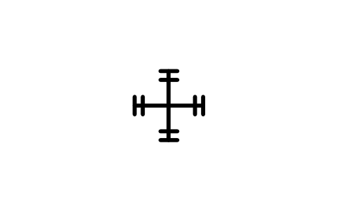
Clivage ardoisier, horizontal
Slaty cleavage, horizontal
GEO_SLATY_HORIZONTALAttributs
STATION_IDSTRIKE_DEGOBSERVED_BYOBS_DATEREMARKSDESC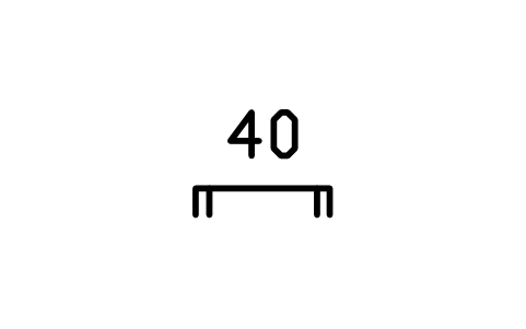
Clivage ardoisier, incliné
Slaty cleavage, inclined
GEO_SLATY_INCLINEDAttributs
DIPSTATION_IDSTRIKE_DEGDIP_DIRECTIONOBSERVED_BYOBS_DATEREMARKSDESC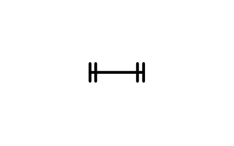
Clivage ardoisier, vertical
Slaty cleavage, vertical
GEO_SLATY_VERTICALAttributs
STATION_IDSTRIKE_DEGOBSERVED_BYOBS_DATEREMARKSDESC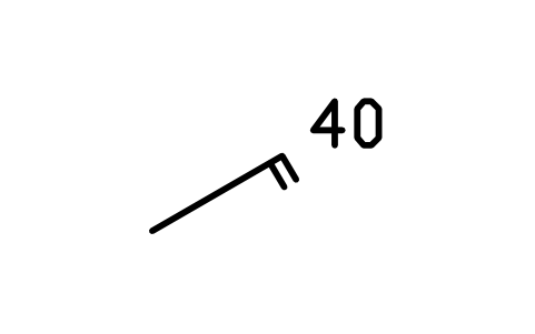
Clivage ardoisier, multiple, à droite
Slaty cleavage, multi right
GEO_SLATY_INCLINED_RIGHTAttributs
DIPSTATION_IDSTRIKE_DEGDIP_DIRECTIONOBSERVED_BYOBS_DATEREMARKSDESC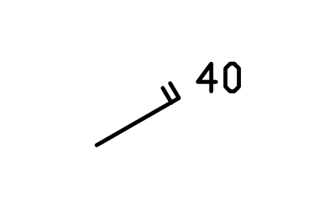
Clivage ardoisier, multiple, à gauche
Slaty cleavage, multi left
GEO_SLATY_INCLINED_LEFTAttributs
DIPSTATION_IDSTRIKE_DEGDIP_DIRECTIONOBSERVED_BYOBS_DATEREMARKSDESC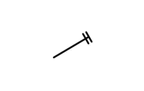
Clivage ardoisier, multiple, vertical
Slaty cleavage, multi vert.
GEO_SLATY_VERTICAL_MULTIAttributs
STATION_IDSTRIKE_DEGOBSERVED_BYOBS_DATEREMARKSDESC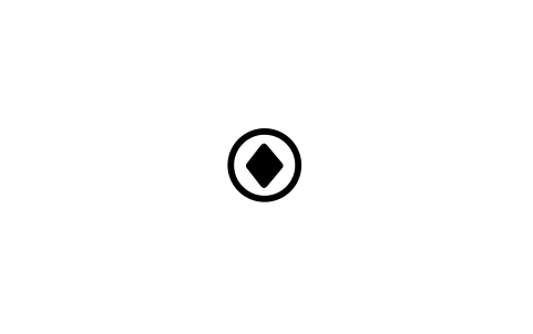
Foliation, horizontal
GEO_FOL_HORIZONTALAttributs
STATION_IDSTRIKE_DEGOBSERVED_BYOBS_DATEREMARKSDESC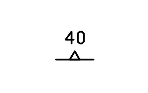
Foliation, incliné
Foliation, inclined
GEO_FOL_INCLINEDAttributs
DIPSTATION_IDSTRIKE_DEGDIP_DIRECTIONOBSERVED_BYOBS_DATEREMARKSDESC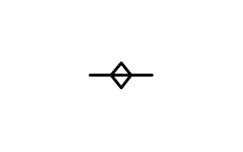
Foliation, vertical
GEO_FOL_VERTICALAttributs
STATION_IDSTRIKE_DEGOBSERVED_BYOBS_DATEREMARKSDESC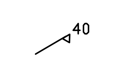
Foliation, multiple, à droite
Foliation, multi right
GEO_FOL_INCLINED_RIGHTAttributs
DIPSTATION_IDSTRIKE_DEGDIP_DIRECTIONOBSERVED_BYOBS_DATEREMARKSDESC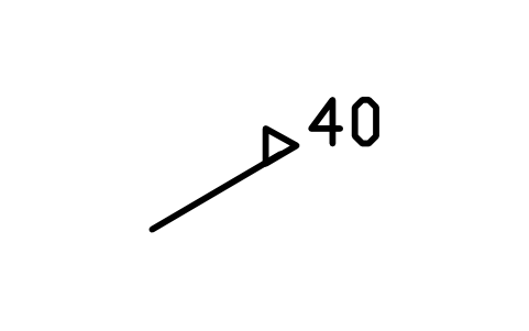
Foliation, multiple, à gauche
Foliation, multi left
GEO_FOL_INCLINED_LEFTAttributs
DIPSTATION_IDSTRIKE_DEGDIP_DIRECTIONOBSERVED_BYOBS_DATEREMARKSDESC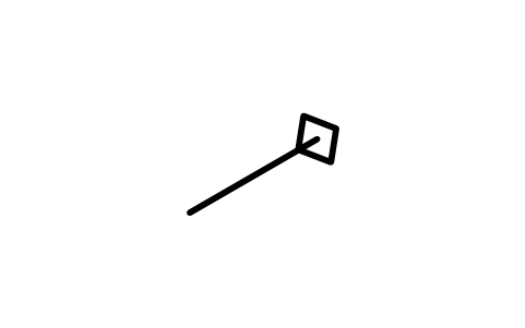
Foliation, multiple, vertical
Foliation, multi vert.
GEO_FOL_VERTICAL_MULTIAttributs
STATION_IDSTRIKE_DEGOBSERVED_BYOBS_DATEREMARKSDESC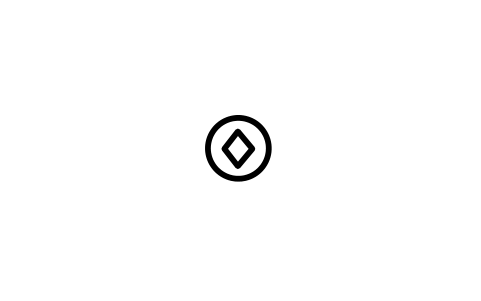
Rubanement de flux, horizontal
Flow banding, horizontal
GEO_FLB_HORIZONTALAttributs
STATION_IDSTRIKE_DEGOBSERVED_BYOBS_DATEREMARKSDESC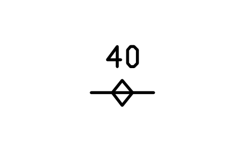
Rubanement de flux, incliné
Flow banding, inclined
GEO_FLB_INCLINEDAttributs
DIPSTATION_IDSTRIKE_DEGDIP_DIRECTIONOBSERVED_BYOBS_DATEREMARKSDESC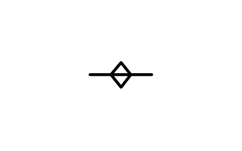
Rubanement de flux, vertical
Flow banding, vertical
GEO_FLB_VERTICALAttributs
STATION_IDSTRIKE_DEGOBSERVED_BYOBS_DATEREMARKSDESC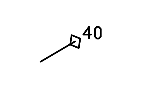
Rubanement de flux, multiple, à droite
Flow banding, multi right
GEO_FLB_INCLINED_RIGHTAttributs
DIPSTATION_IDSTRIKE_DEGDIP_DIRECTIONOBSERVED_BYOBS_DATEREMARKSDESC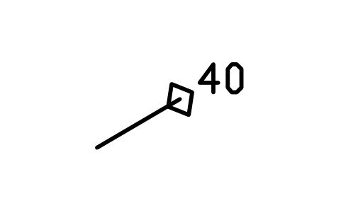
Rubanement de flux, multiple, à gauche
Flow banding, multi left
GEO_FLB_INCLINED_LEFTAttributs
DIPSTATION_IDSTRIKE_DEGDIP_DIRECTIONOBSERVED_BYOBS_DATEREMARKSDESC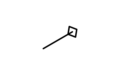
Rubanement de flux, multiple, vertical
Flow banding, multi vert.
GEO_FLB_VERTICAL_MULTIAttributs
STATION_IDSTRIKE_DEGOBSERVED_BYOBS_DATEREMARKSDESC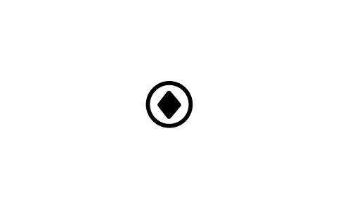
Foliation tectonique, horizontal
Tectonic foliation, horizontal
GEO_MET_HORIZONTALAttributs
STATION_IDSTRIKE_DEGOBSERVED_BYOBS_DATEREMARKSDESC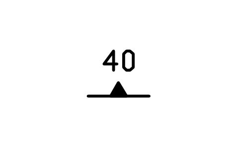
Foliation tectonique, incliné
Tectonic foliation, inclined
GEO_MET_INCLINEDAttributs
DIPSTATION_IDSTRIKE_DEGDIP_DIRECTIONOBSERVED_BYOBS_DATEREMARKSDESC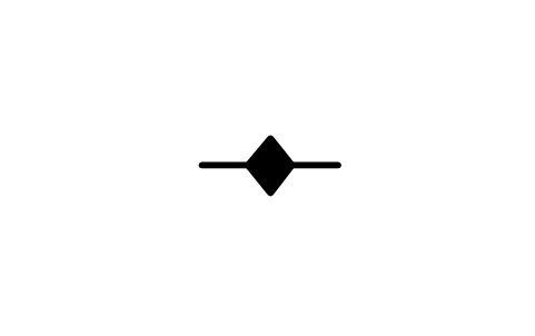
Foliation tectonique, vertical
Tectonic foliation, vertical
GEO_MET_VERTICALAttributs
STATION_IDSTRIKE_DEGOBSERVED_BYOBS_DATEREMARKSDESC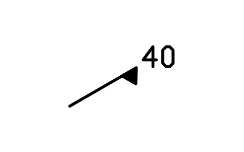
Foliation tectonique, multiple, à droite
Tectonic foliation, multi right
GEO_MET_INCLINED_RIGHTAttributs
DIPSTATION_IDSTRIKE_DEGDIP_DIRECTIONOBSERVED_BYOBS_DATEREMARKSDESC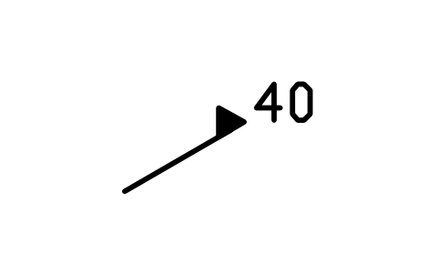
Foliation tectonique, multiple, à gauche
Tectonic foliation, multi left
GEO_MET_INCLINED_LEFTAttributs
DIPSTATION_IDSTRIKE_DEGDIP_DIRECTIONOBSERVED_BYOBS_DATEREMARKSDESC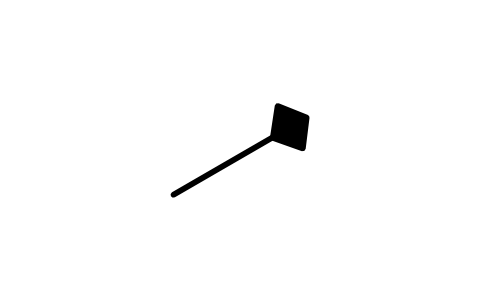
Foliation tectonique, multiple, vertical
Tectonic foliation, multi vert.
GEO_MET_VERTICAL_MULTIAttributs
STATION_IDSTRIKE_DEGOBSERVED_BYOBS_DATEREMARKSDESC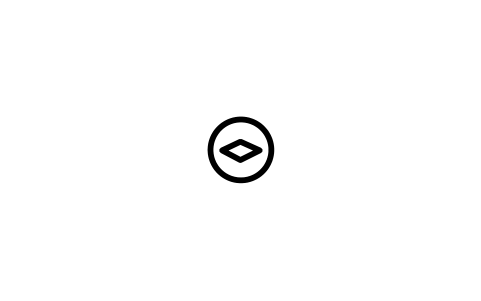
Eutaxitique, horizontal
Eutaxitic, horizontal
GEO_EUT_HORIZONTALAttributs
STATION_IDSTRIKE_DEGOBSERVED_BYOBS_DATEREMARKSDESC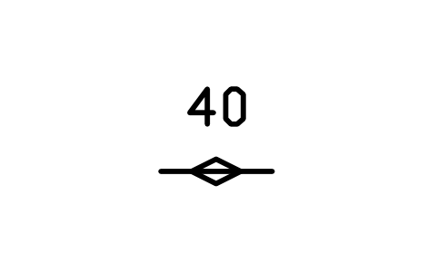
Eutaxitique, incliné
Eutaxitic, inclined
GEO_EUT_INCLINEDAttributs
DIPSTATION_IDSTRIKE_DEGDIP_DIRECTIONOBSERVED_BYOBS_DATEREMARKSDESC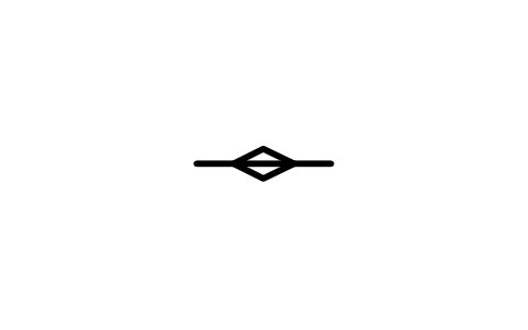
Eutaxitique, vertical
Eutaxitic, vertical
GEO_EUT_VERTICALAttributs
STATION_IDSTRIKE_DEGOBSERVED_BYOBS_DATEREMARKSDESC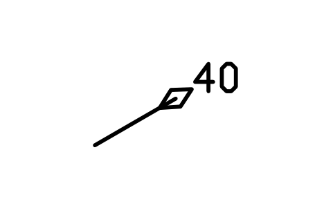
Eutaxitique, multiple, à droite
Eutaxitic, multi right
GEO_EUT_INCLINED_RIGHTAttributs
DIPSTATION_IDSTRIKE_DEGDIP_DIRECTIONOBSERVED_BYOBS_DATEREMARKSDESC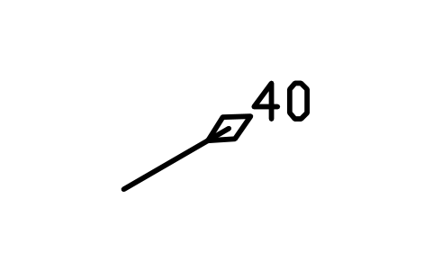
Eutaxitique, multiple, à gauche
Eutaxitic, multi left
GEO_EUT_INCLINED_LEFTAttributs
DIPSTATION_IDSTRIKE_DEGDIP_DIRECTIONOBSERVED_BYOBS_DATEREMARKSDESC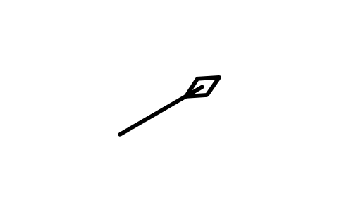
Eutaxitique, multiple, vertical
Eutaxitic, multi vert.
GEO_EUT_VERTICAL_MULTIAttributs
STATION_IDSTRIKE_DEGOBSERVED_BYOBS_DATEREMARKSDESC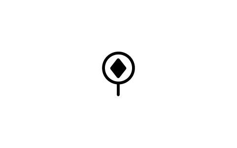
Foliation parallèle à la strate, horizontal
Bedding foliation, horizontal
GEO_PAR_HORIZONTALAttributs
STATION_IDSTRIKE_DEGOBSERVED_BYOBS_DATEREMARKSDESC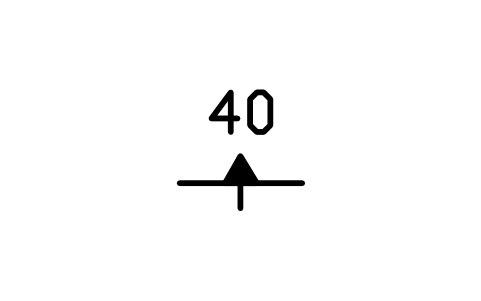
Foliation parallèle à la strate, incliné
Bedding foliation, inclined
GEO_PAR_INCLINEDAttributs
DIPSTATION_IDSTRIKE_DEGDIP_DIRECTIONOBSERVED_BYOBS_DATEREMARKSDESC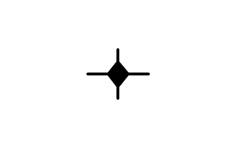
Foliation parallèle à la strate, vertical
Bedding foliation, vertical
GEO_PAR_VERTICALAttributs
STATION_IDSTRIKE_DEGOBSERVED_BYOBS_DATEREMARKSDESC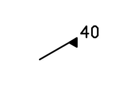
Foliation parallèle à la strate, multiple, à droite
Bedding foliation, multi right
GEO_PAR_INCLINED_RIGHTAttributs
DIPSTATION_IDSTRIKE_DEGDIP_DIRECTIONOBSERVED_BYOBS_DATEREMARKSDESC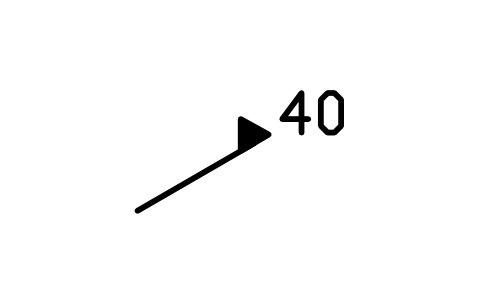
Foliation parallèle à la strate, multiple, à gauche
Bedding foliation, multi left
GEO_PAR_INCLINED_LEFTAttributs
DIPSTATION_IDSTRIKE_DEGDIP_DIRECTIONOBSERVED_BYOBS_DATEREMARKSDESC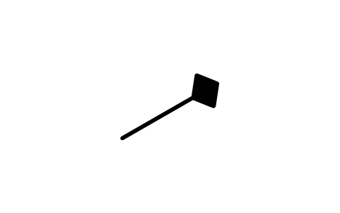
Foliation parallèle à la strate, multiple, vertical
Bedding foliation, multi vert.
GEO_PAR_VERTICAL_MULTIAttributs
STATION_IDSTRIKE_DEGOBSERVED_BYOBS_DATEREMARKSDESC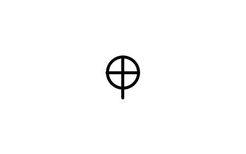
Foliation de cumulat, horizontal
Cumulate foliation, horizontal
GEO_CUM_HORIZONTALAttributs
STATION_IDSTRIKE_DEGOBSERVED_BYOBS_DATEREMARKSDESC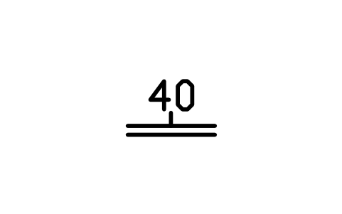
Foliation de cumulat, incliné
Cumulate foliation, inclined
GEO_CUM_INCLINEDAttributs
DIPSTATION_IDSTRIKE_DEGDIP_DIRECTIONOBSERVED_BYOBS_DATEREMARKSDESC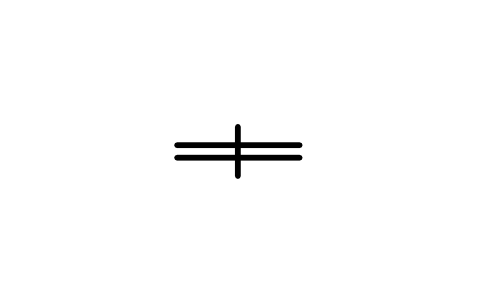
Foliation de cumulat, vertical
Cumulate foliation, vertical
GEO_CUM_VERTICALAttributs
STATION_IDSTRIKE_DEGOBSERVED_BYOBS_DATEREMARKSDESC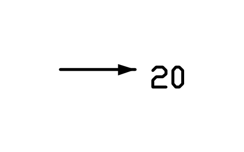
Linéation, incliné
Lineation, inclined
GEO_LIN_GENERIC_INCLINEDAttributs
PLUNGESTATION_IDBEARING_DEGOBSERVED_BYOBS_DATEREMARKSDESC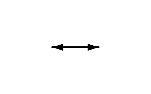
Linéation, horizontal
Lineation, horizontal
GEO_LIN_GENERIC_HORIZONTALAttributs
STATION_IDSTRIKE_DEGOBSERVED_BYOBS_DATEREMARKSDESC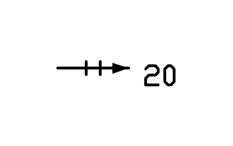
Linéation de séparation, incliné
Parting lineation, inclined
GEO_LIN_PARTING_INCLINEDAttributs
PLUNGESTATION_IDBEARING_DEGOBSERVED_BYOBS_DATEREMARKSDESC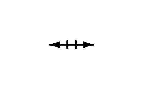
Linéation de séparation, horizontal
Parting lineation, horizontal
GEO_LIN_PARTING_HORIZONTALAttributs
STATION_IDSTRIKE_DEGOBSERVED_BYOBS_DATEREMARKSDESC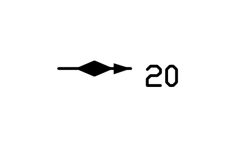
Marque de base, incliné
Sole or tool mark, inclined
GEO_LIN_SOLE_INCLINEDAttributs
PLUNGESTATION_IDBEARING_DEGOBSERVED_BYOBS_DATEREMARKSDESC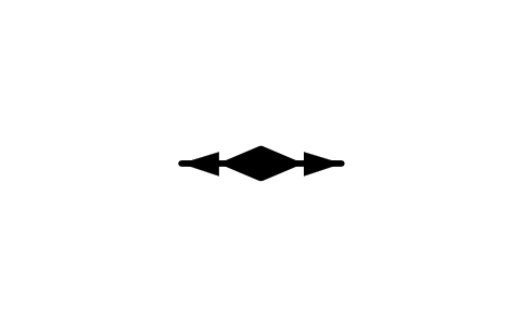
Marque de base, horizontal
Sole or tool mark, horizontal
GEO_LIN_SOLE_HORIZONTALAttributs
STATION_IDSTRIKE_DEGOBSERVED_BYOBS_DATEREMARKSDESC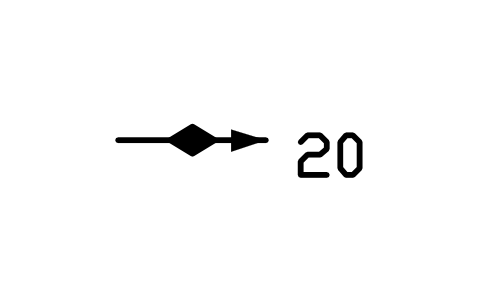
Strie de faille, incliné
Slickenline, inclined
GEO_LIN_SLICK_INCLINEDAttributs
PLUNGESTATION_IDBEARING_DEGOBSERVED_BYOBS_DATEREMARKSDESC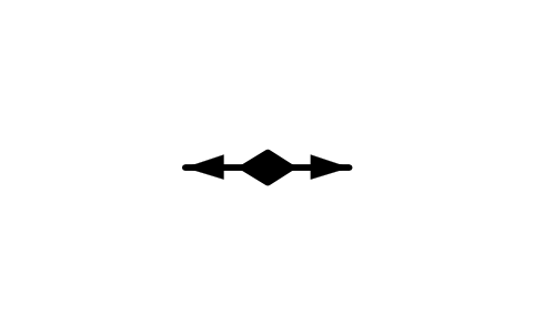
Strie de faille, horizontal
Slickenline, horizontal
GEO_LIN_SLICK_HORIZONTALAttributs
STATION_IDSTRIKE_DEGOBSERVED_BYOBS_DATEREMARKSDESC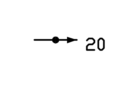
Objet aligné, incliné
Aligned object, inclined
GEO_LIN_OBJECT_INCLINEDAttributs
PLUNGESTATION_IDBEARING_DEGOBSERVED_BYOBS_DATEREMARKSDESC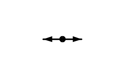
Objet aligné, horizontal
Aligned object, horizontal
GEO_LIN_OBJECT_HORIZONTALAttributs
STATION_IDSTRIKE_DEGOBSERVED_BYOBS_DATEREMARKSDESC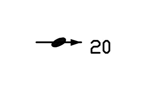
Claste aligné, incliné
Aligned clast, inclined
GEO_LIN_CLAST_INCLINEDAttributs
PLUNGESTATION_IDBEARING_DEGOBSERVED_BYOBS_DATEREMARKSDESC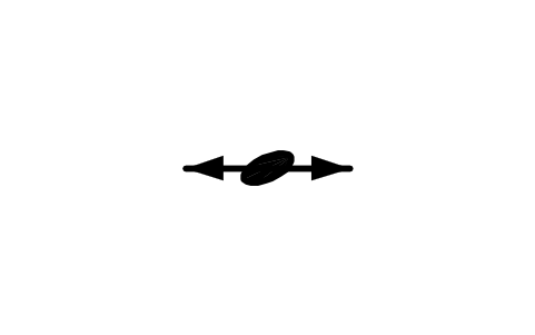
Claste aligné, horizontal
Aligned clast, horizontal
GEO_LIN_CLAST_HORIZONTALAttributs
STATION_IDSTRIKE_DEGOBSERVED_BYOBS_DATEREMARKSDESC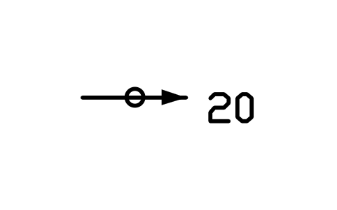
Inclusion alignée, incliné
Aligned inclusion, inclined
GEO_LIN_INCL_INCLINEDAttributs
PLUNGESTATION_IDBEARING_DEGOBSERVED_BYOBS_DATEREMARKSDESC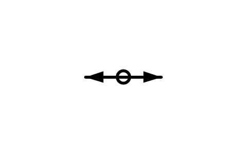
Inclusion alignée, horizontal
Aligned inclusion, horizontal
GEO_LIN_INCL_HORIZONTALAttributs
STATION_IDSTRIKE_DEGOBSERVED_BYOBS_DATEREMARKSDESC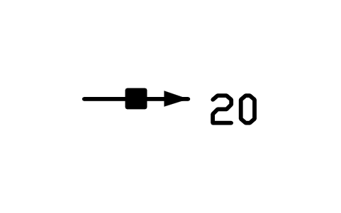
Minéral aligné, incliné
Aligned mineral, inclined
GEO_LIN_MINERAL_INCLINEDAttributs
PLUNGESTATION_IDBEARING_DEGOBSERVED_BYOBS_DATEREMARKSDESC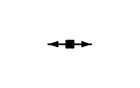
Minéral aligné, horizontal
Aligned mineral, horizontal
GEO_LIN_MINERAL_HORIZONTALAttributs
STATION_IDSTRIKE_DEGOBSERVED_BYOBS_DATEREMARKSDESC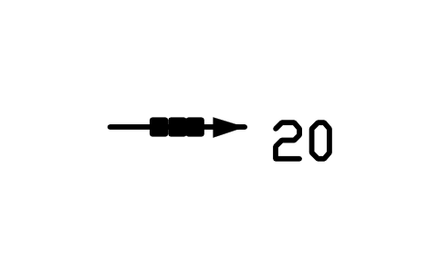
Agrégat minéral, incliné
Mineral aggregate, inclined
GEO_LIN_AGGR_INCLINEDAttributs
PLUNGESTATION_IDBEARING_DEGOBSERVED_BYOBS_DATEREMARKSDESC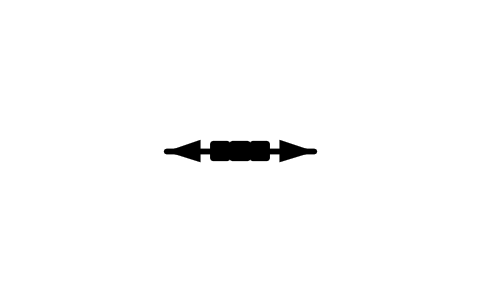
Agrégat minéral, horizontal
Mineral aggregate, horizontal
GEO_LIN_AGGR_HORIZONTALAttributs
STATION_IDSTRIKE_DEGOBSERVED_BYOBS_DATEREMARKSDESC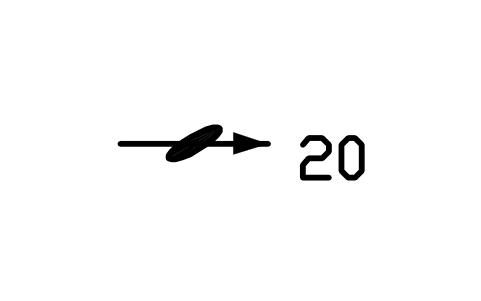
Minéral déformé, incliné
Deformed mineral, inclined
GEO_LIN_DEFMIN_INCLINEDAttributs
PLUNGESTATION_IDBEARING_DEGOBSERVED_BYOBS_DATEREMARKSDESC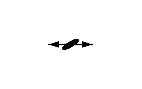
Minéral déformé, horizontal
Deformed mineral, horizontal
GEO_LIN_DEFMIN_HORIZONTALAttributs
STATION_IDSTRIKE_DEGOBSERVED_BYOBS_DATEREMARKSDESC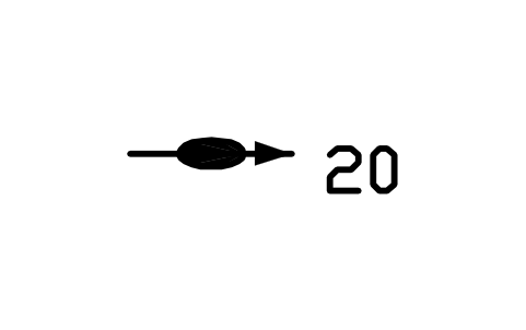
Objet étiré, incliné
Stretched object, inclined
GEO_LIN_STRETCH_INCLINEDAttributs
PLUNGESTATION_IDBEARING_DEGOBSERVED_BYOBS_DATEREMARKSDESC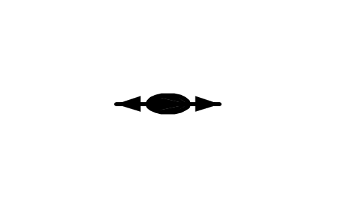
Objet étiré, horizontal
Stretched object, horizontal
GEO_LIN_STRETCH_HORIZONTALAttributs
STATION_IDSTRIKE_DEGOBSERVED_BYOBS_DATEREMARKSDESC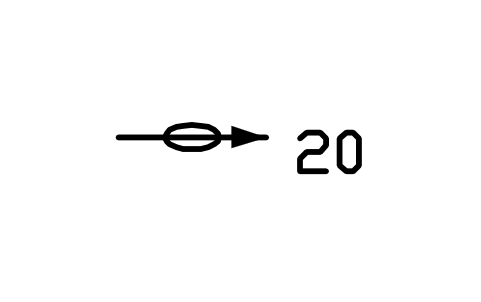
Galet étiré, incliné
Stretched pebble, inclined
GEO_LIN_PEBBLE_INCLINEDAttributs
PLUNGESTATION_IDBEARING_DEGOBSERVED_BYOBS_DATEREMARKSDESC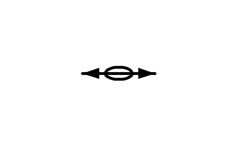
Galet étiré, horizontal
Stretched pebble, horizontal
GEO_LIN_PEBBLE_HORIZONTALAttributs
STATION_IDSTRIKE_DEGOBSERVED_BYOBS_DATEREMARKSDESC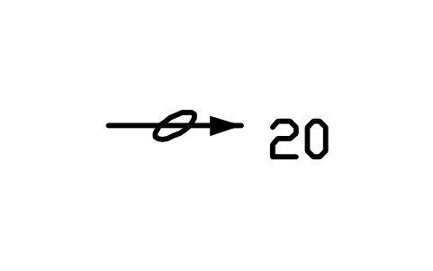
Oolithe étirée, incliné
Stretched ooid, inclined
GEO_LIN_OOID_INCLINEDAttributs
PLUNGESTATION_IDBEARING_DEGOBSERVED_BYOBS_DATEREMARKSDESC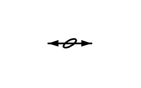
Oolithe étirée, horizontal
Stretched ooid, horizontal
GEO_LIN_OOID_HORIZONTALAttributs
STATION_IDSTRIKE_DEGOBSERVED_BYOBS_DATEREMARKSDESC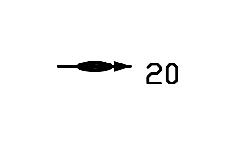
Rodding, incliné
Rodding, inclined
GEO_LIN_ROD_INCLINEDAttributs
PLUNGESTATION_IDBEARING_DEGOBSERVED_BYOBS_DATEREMARKSDESC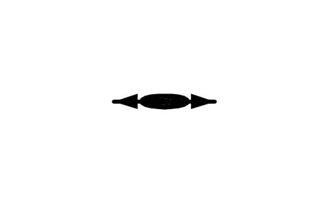
Rodding, horizontal
GEO_LIN_ROD_HORIZONTALAttributs
STATION_IDSTRIKE_DEGOBSERVED_BYOBS_DATEREMARKSDESC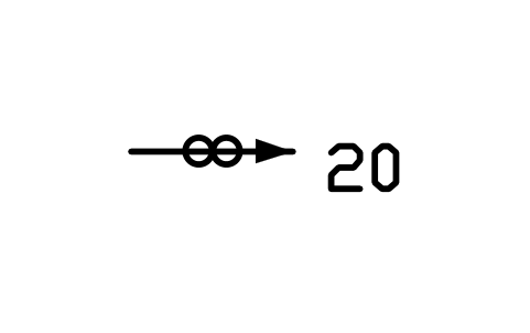
Mullions, incliné
Mullions, inclined
GEO_LIN_MULLION_INCLINEDAttributs
PLUNGESTATION_IDBEARING_DEGOBSERVED_BYOBS_DATEREMARKSDESC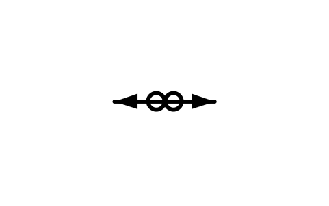
Mullions, horizontal
GEO_LIN_MULLION_HORIZONTALAttributs
STATION_IDSTRIKE_DEGOBSERVED_BYOBS_DATEREMARKSDESC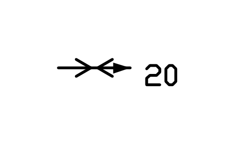
Boudins, incliné
Boudins, inclined
GEO_LIN_BOUDIN_INCLINEDAttributs
PLUNGESTATION_IDBEARING_DEGOBSERVED_BYOBS_DATEREMARKSDESC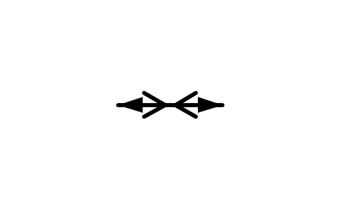
Boudins, horizontal
GEO_LIN_BOUDIN_HORIZONTALAttributs
STATION_IDSTRIKE_DEGOBSERVED_BYOBS_DATEREMARKSDESC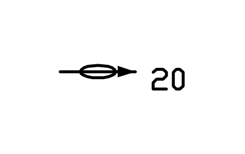
Structure en crayon, incliné
Pencil structure, inclined
GEO_LIN_PENCIL_INCLINEDAttributs
PLUNGESTATION_IDBEARING_DEGOBSERVED_BYOBS_DATEREMARKSDESC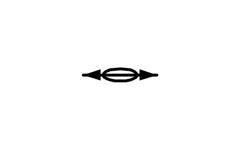
Structure en crayon, horizontal
Pencil structure, horizontal
GEO_LIN_PENCIL_HORIZONTALAttributs
STATION_IDSTRIKE_DEGOBSERVED_BYOBS_DATEREMARKSDESC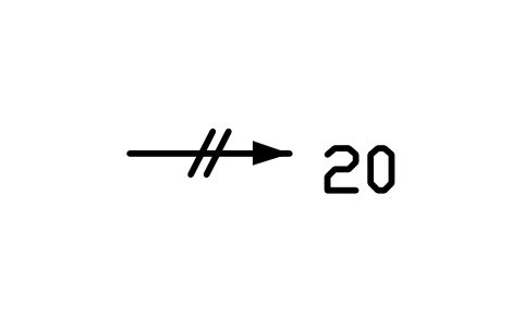
Deux clivages, incliné
Two cleavages, inclined
GEO_LIN_CLEAV2_INCLINEDAttributs
PLUNGESTATION_IDBEARING_DEGOBSERVED_BYOBS_DATEREMARKSDESC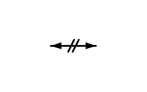
Deux clivages, horizontal
Two cleavages, horizontal
GEO_LIN_CLEAV2_HORIZONTALAttributs
STATION_IDSTRIKE_DEGOBSERVED_BYOBS_DATEREMARKSDESC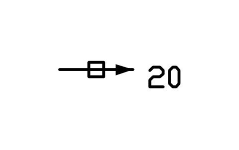
Deux fractures, incliné
Two fractures, inclined
GEO_LIN_FRACT_INCLINEDAttributs
PLUNGESTATION_IDBEARING_DEGOBSERVED_BYOBS_DATEREMARKSDESC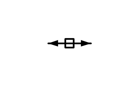
Deux fractures, horizontal
Two fractures, horizontal
GEO_LIN_FRACT_HORIZONTALAttributs
STATION_IDSTRIKE_DEGOBSERVED_BYOBS_DATEREMARKSDESC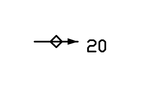
Deux foliations, incliné
Two foliations, inclined
GEO_LIN_FOLI2_INCLINEDAttributs
PLUNGESTATION_IDBEARING_DEGOBSERVED_BYOBS_DATEREMARKSDESC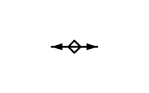
Deux foliations, horizontal
Two foliations, horizontal
GEO_LIN_FOLI2_HORIZONTALAttributs
STATION_IDSTRIKE_DEGOBSERVED_BYOBS_DATEREMARKSDESC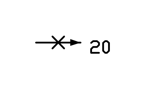
Deux surfaces, incliné
Two surfaces, inclined
GEO_LIN_SURF_INCLINEDAttributs
PLUNGESTATION_IDBEARING_DEGOBSERVED_BYOBS_DATEREMARKSDESC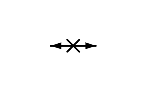
Deux surfaces, horizontal
Two surfaces, horizontal
GEO_LIN_SURF_HORIZONTALAttributs
STATION_IDSTRIKE_DEGOBSERVED_BYOBS_DATEREMARKSDESC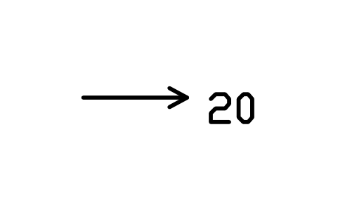
Linéation, incliné, pointe ouverte
Lineation, inclined, open head
GEO_LIN_GENERIC_INCLINED_OPENAttributs
PLUNGESTATION_IDBEARING_DEGOBSERVED_BYOBS_DATEREMARKSDESC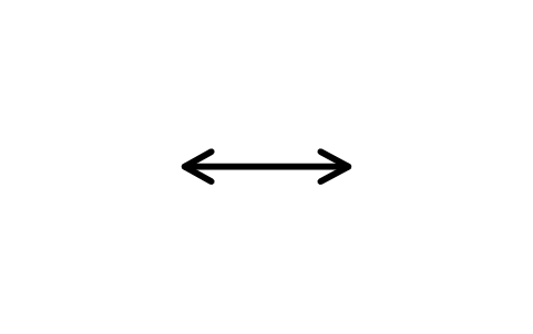
Linéation, horizontal, pointe ouverte
Lineation, horiz., open head
GEO_LIN_GENERIC_HORIZONTAL_OPENAttributs
STATION_IDSTRIKE_DEGOBSERVED_BYOBS_DATEREMARKSDESC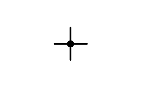
Linéation, vertical
Lineation, vertical
GEO_LIN_GENERIC_VERTICALAttributs
STATION_IDSTRIKE_DEGOBSERVED_BYOBS_DATEREMARKSDESC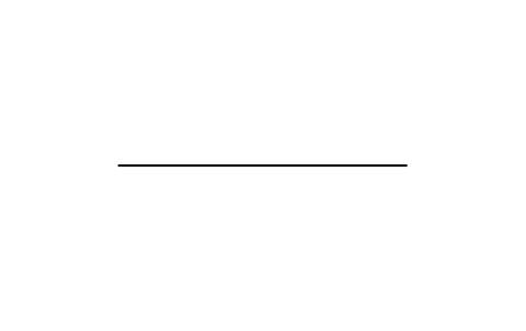
Contact, précis
Contact, accurate
GEO_CONTACT_ACCURATEAttributs
UNIT_NAMECONFIDENCEREMARKSDESC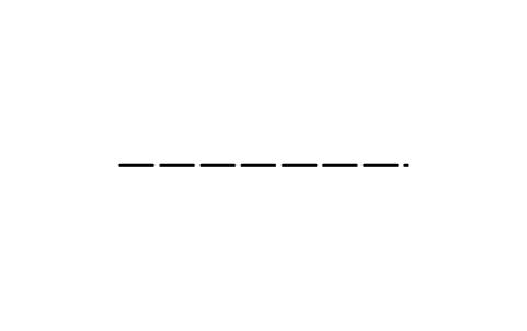
Contact, approximatif
Contact, approximate
GEO_CONTACT_APPROXAttributs
UNIT_NAMECONFIDENCEREMARKSDESC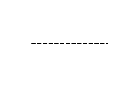
Contact, présumé
Contact, inferred
GEO_CONTACT_INFERREDAttributs
UNIT_NAMECONFIDENCEREMARKSDESC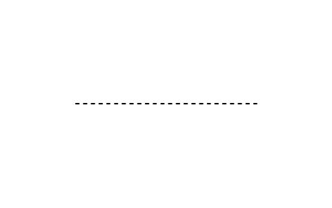
Contact, masqué
Contact, concealed
GEO_CONTACT_CONCEALEDAttributs
UNIT_NAMECONFIDENCEREMARKSDESC
Faille, précis
Fault, accurate
GEO_FAULT_ACCURATEAttributs
UNIT_NAMECONFIDENCEREMARKSDESC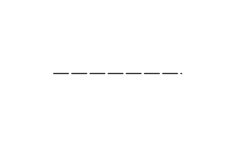
Faille, approximatif
Fault, approximate
GEO_FAULT_APPROXAttributs
UNIT_NAMECONFIDENCEREMARKSDESC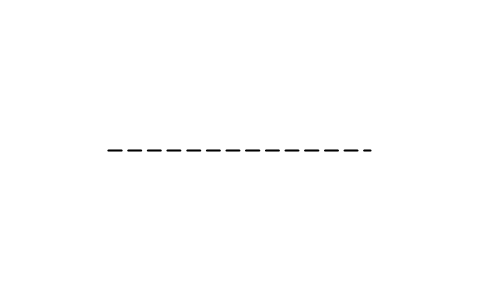
Faille, présumé
Fault, inferred
GEO_FAULT_INFERREDAttributs
UNIT_NAMECONFIDENCEREMARKSDESC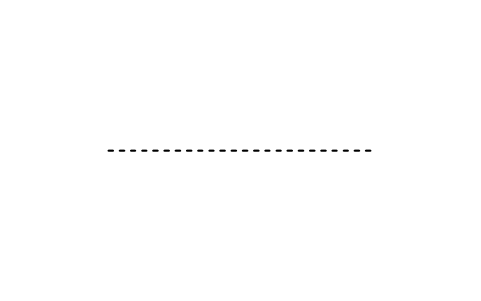
Faille, masqué
Fault, concealed
GEO_FAULT_CONCEALEDAttributs
UNIT_NAMECONFIDENCEREMARKSDESC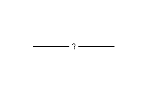
Faille, précis, douteux
Fault, accurate, questionable
GEO_FAULT_ACCURATE_QUESTIONABLEAttributs
UNIT_NAMECONFIDENCEREMARKSDESC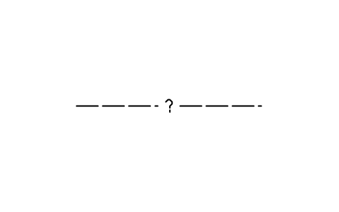
Faille, approximatif, douteux
Fault, approx., questionable
GEO_FAULT_APPROX_QUESTIONABLEAttributs
UNIT_NAMECONFIDENCEREMARKSDESC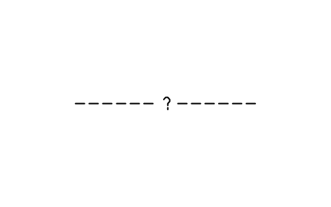
Faille, présumé, douteux
Fault, inferred, questionable
GEO_FAULT_INFERRED_QUESTIONABLEAttributs
UNIT_NAMECONFIDENCEREMARKSDESC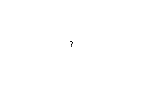
Faille, masqué, douteux
Fault, concealed, questionable
GEO_FAULT_CONCEALED_QUESTIONABLEAttributs
UNIT_NAMECONFIDENCEREMARKSDESC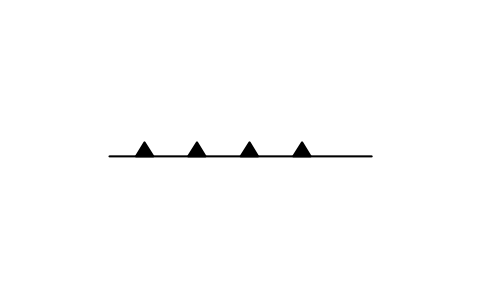
Chevauchement, précis
Thrust fault, accurate
GEO_THRUST_ACCURATEAttributs
UNIT_NAMECONFIDENCEREMARKSDESC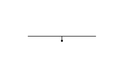
Faille normale, précis
Normal fault, accurate
GEO_NORMAL_ACCURATEAttributs
UNIT_NAMECONFIDENCEREMARKSDESC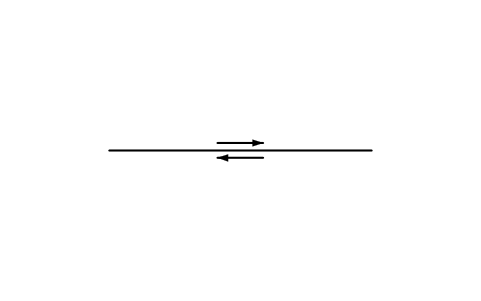
Faille décrochante dextre, précis
Right-lateral fault, accurate
GEO_RIGHTLAT_ACCURATEAttributs
UNIT_NAMECONFIDENCEREMARKSDESC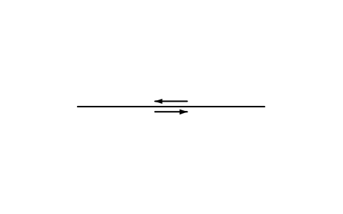
Faille décrochante senestre, précis
Left-lateral fault, accurate
GEO_LEFTLAT_ACCURATEAttributs
UNIT_NAMECONFIDENCEREMARKSDESC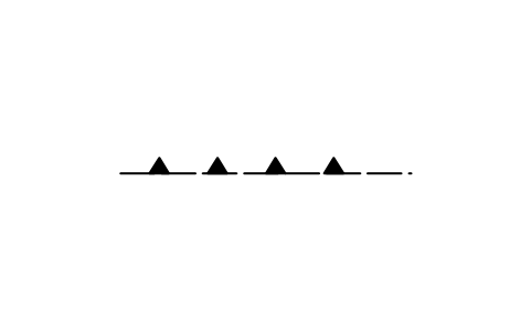
Chevauchement, approximatif
Thrust fault, approximate
GEO_THRUST_APPROXAttributs
UNIT_NAMECONFIDENCEREMARKSDESC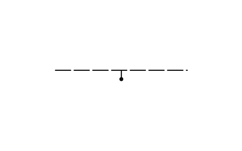
Faille normale, approximatif
Normal fault, approximate
GEO_NORMAL_APPROXAttributs
UNIT_NAMECONFIDENCEREMARKSDESC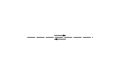
Faille décrochante dextre, approximatif
Right-lateral fault, approx.
GEO_RIGHTLAT_APPROXAttributs
UNIT_NAMECONFIDENCEREMARKSDESC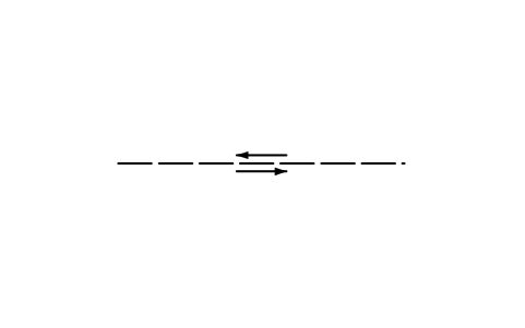
Faille décrochante senestre, approximatif
Left-lateral fault, approx.
GEO_LEFTLAT_APPROXAttributs
UNIT_NAMECONFIDENCEREMARKSDESC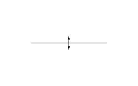
Axe anticlinal, précis
Anticline axis, accurate
GEO_ANTICLINE_ACCURATEAttributs
UNIT_NAMECONFIDENCEREMARKSDESC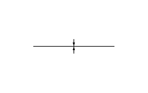
Axe synclinal, précis
Syncline axis, accurate
GEO_SYNCLINE_ACCURATEAttributs
UNIT_NAMECONFIDENCEREMARKSDESC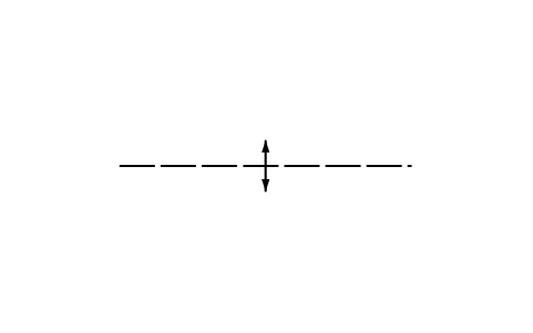
Axe anticlinal, approximatif
Anticline axis, approximate
GEO_ANTICLINE_APPROXAttributs
UNIT_NAMECONFIDENCEREMARKSDESC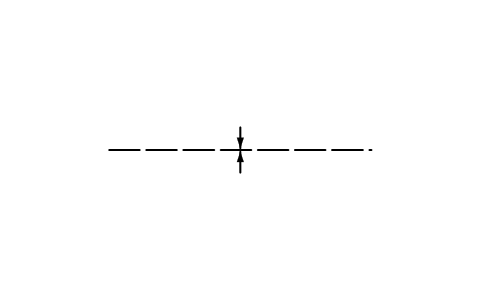
Axe synclinal, approximatif
Syncline axis, approximate
GEO_SYNCLINE_APPROXAttributs
UNIT_NAMECONFIDENCEREMARKSDESC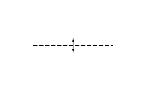
Axe anticlinal, présumé
Anticline axis, inferred
GEO_ANTICLINE_INFERREDAttributs
UNIT_NAMECONFIDENCEREMARKSDESC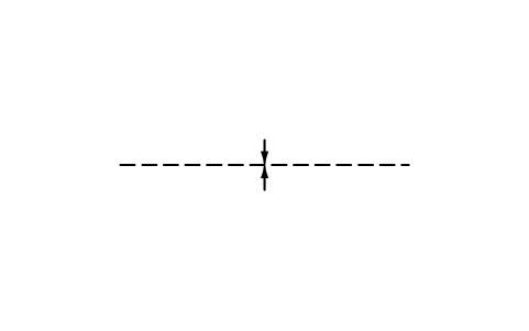
Axe synclinal, présumé
Syncline axis, inferred
GEO_SYNCLINE_INFERREDAttributs
UNIT_NAMECONFIDENCEREMARKSDESC
Station météo
Weather station
GEO_WX_UNSPECIFIEDAttributs
STATION_IDELEVATION_MDEPTH_MOPERATOROBS_DATEREMARKSDESC
Station météo abandonnée
Weather station, discontinued
GEO_WX_DISCONTINUEDAttributs
STATION_IDELEVATION_MDEPTH_MOPERATOROBS_DATEREMARKSDESC
Parcours de nivométrie, radio
Snow-survey course, radio
GEO_WX_SNOW_RADIOAttributs
STATION_IDELEVATION_MDEPTH_MOPERATOROBS_DATEREMARKSDESC
Parcours de nivométrie, enregistreur
Snow-survey course, recorder
GEO_WX_SNOW_RECORDERAttributs
STATION_IDELEVATION_MDEPTH_MOPERATOROBS_DATEREMARKSDESC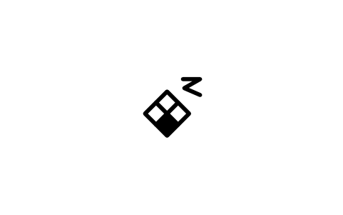
Station de précipitations, radio
Precipitation station, radio
GEO_WX_PRECIP_RADIOAttributs
STATION_IDELEVATION_MDEPTH_MOPERATOROBS_DATEREMARKSDESC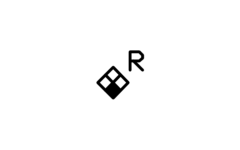
Station de précipitations, enregistreur
Precipitation station, recorder
GEO_WX_PRECIP_RECORDERAttributs
STATION_IDELEVATION_MDEPTH_MOPERATOROBS_DATEREMARKSDESC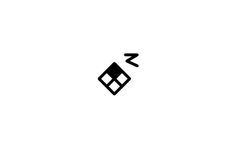
Station d'évaporation, radio
Evaporation station, radio
GEO_WX_EVAP_RADIOAttributs
STATION_IDELEVATION_MDEPTH_MOPERATOROBS_DATEREMARKSDESC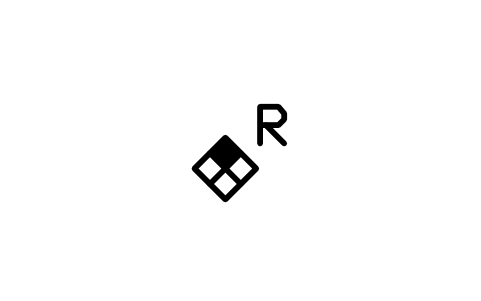
Station d'évaporation, enregistreur
Evaporation station, recorder
GEO_WX_EVAP_RECORDERAttributs
STATION_IDELEVATION_MDEPTH_MOPERATOROBS_DATEREMARKSDESC
Station de température, radio
Temperature station, radio
GEO_WX_TEMP_RADIOAttributs
STATION_IDELEVATION_MDEPTH_MOPERATOROBS_DATEREMARKSDESC
Station de température, enregistreur
Temperature station, recorder
GEO_WX_TEMP_RECORDERAttributs
STATION_IDELEVATION_MDEPTH_MOPERATOROBS_DATEREMARKSDESC
Station d'humidité, radio
Humidity station, radio
GEO_WX_HUMID_RADIOAttributs
STATION_IDELEVATION_MDEPTH_MOPERATOROBS_DATEREMARKSDESC
Station d'humidité, enregistreur
Humidity station, recorder
GEO_WX_HUMID_RECORDERAttributs
STATION_IDELEVATION_MDEPTH_MOPERATOROBS_DATEREMARKSDESC
Station de rayonnement, radio
Solar radiation, radio
GEO_WX_SOLAR_RADIOAttributs
STATION_IDELEVATION_MDEPTH_MOPERATOROBS_DATEREMARKSDESC
Station de rayonnement, enregistreur
Solar radiation, recorder
GEO_WX_SOLAR_RECORDERAttributs
STATION_IDELEVATION_MDEPTH_MOPERATOROBS_DATEREMARKSDESC
Station de vent, radio
Wind velocity station, radio
GEO_WX_WIND_RADIOAttributs
STATION_IDELEVATION_MDEPTH_MOPERATOROBS_DATEREMARKSDESC
Station de vent, enregistreur
Wind velocity station, recorder
GEO_WX_WIND_RECORDERAttributs
STATION_IDELEVATION_MDEPTH_MOPERATOROBS_DATEREMARKSDESC
Station complète, radio
Complete station, radio
GEO_WX_COMPLETE_RADIOAttributs
STATION_IDELEVATION_MDEPTH_MOPERATOROBS_DATEREMARKSDESC
Station complète, enregistreur
Complete station, recorder
GEO_WX_COMPLETE_RECORDERAttributs
STATION_IDELEVATION_MDEPTH_MOPERATOROBS_DATEREMARKSDESC
Puits, irrigation
Well, irrigation
GEO_WELL_IRR_PLAINAttributs
STATION_IDELEVATION_MDEPTH_MOPERATOROBS_DATEREMARKSDESC
Puits artésien, irrigation
Artesian well, irrigation
GEO_WELL_IRR_ARTESIANAttributs
STATION_IDELEVATION_MDEPTH_MOPERATOROBS_DATEREMARKSDESC
Puits non jaillissant, irrigation
Nonflowing well, irrigation
GEO_WELL_IRR_NONFLOWAttributs
STATION_IDELEVATION_MDEPTH_MOPERATOROBS_DATEREMARKSDESC
Puits d'injection, irrigation
Recharge well, irrigation
GEO_WELL_IRR_RECHARGEAttributs
STATION_IDELEVATION_MDEPTH_MOPERATOROBS_DATEREMARKSDESC
Puits d'observation, irrigation
Observation well, irrigation
GEO_WELL_IRR_OBSAttributs
STATION_IDELEVATION_MDEPTH_MOPERATOROBS_DATEREMARKSDESC
Puits obs., enregistreur, irrigation
Obs. well, recorder, irrigation
GEO_WELL_IRR_OBS_RECAttributs
STATION_IDELEVATION_MDEPTH_MOPERATOROBS_DATEREMARKSDESC
Puits sec, irrigation
Dry well, irrigation
GEO_WELL_IRR_DRYAttributs
STATION_IDELEVATION_MDEPTH_MOPERATOROBS_DATEREMARKSDESC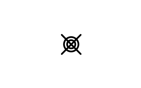
Puits détruit, irrigation
Destroyed well, irrigation
GEO_WELL_IRR_DESTROYEDAttributs
STATION_IDELEVATION_MDEPTH_MOPERATOROBS_DATEREMARKSDESC
Trou d'essai, irrigation
Test hole, irrigation
GEO_WELL_IRR_TESTAttributs
STATION_IDELEVATION_MDEPTH_MOPERATOROBS_DATEREMARKSDESC
Puits, industriel
Well, industrial
GEO_WELL_IND_PLAINAttributs
STATION_IDELEVATION_MDEPTH_MOPERATOROBS_DATEREMARKSDESC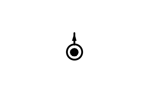
Puits artésien, industriel
Artesian well, industrial
GEO_WELL_IND_ARTESIANAttributs
STATION_IDELEVATION_MDEPTH_MOPERATOROBS_DATEREMARKSDESC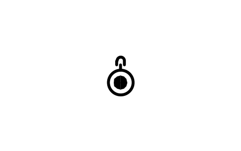
Puits non jaillissant, industriel
Nonflowing well, industrial
GEO_WELL_IND_NONFLOWAttributs
STATION_IDELEVATION_MDEPTH_MOPERATOROBS_DATEREMARKSDESC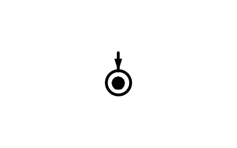
Puits d'injection, industriel
Recharge well, industrial
GEO_WELL_IND_RECHARGEAttributs
STATION_IDELEVATION_MDEPTH_MOPERATOROBS_DATEREMARKSDESC
Puits d'observation, industriel
Observation well, industrial
GEO_WELL_IND_OBSAttributs
STATION_IDELEVATION_MDEPTH_MOPERATOROBS_DATEREMARKSDESC
Puits obs., enregistreur, industriel
Obs. well, recorder, industrial
GEO_WELL_IND_OBS_RECAttributs
STATION_IDELEVATION_MDEPTH_MOPERATOROBS_DATEREMARKSDESC
Puits sec, industriel
Dry well, industrial
GEO_WELL_IND_DRYAttributs
STATION_IDELEVATION_MDEPTH_MOPERATOROBS_DATEREMARKSDESC
Puits détruit, industriel
Destroyed well, industrial
GEO_WELL_IND_DESTROYEDAttributs
STATION_IDELEVATION_MDEPTH_MOPERATOROBS_DATEREMARKSDESC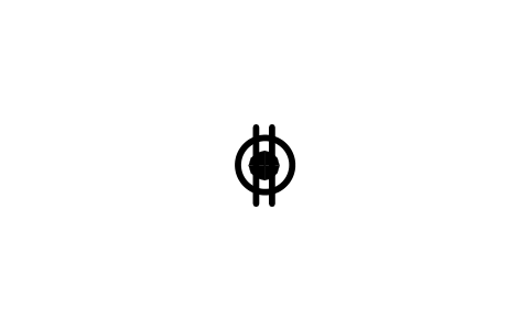
Trou d'essai, industriel
Test hole, industrial
GEO_WELL_IND_TESTAttributs
STATION_IDELEVATION_MDEPTH_MOPERATOROBS_DATEREMARKSDESC
Il vous manque un symbole ? Dites-nous lequel.
Des attributs pour les nomenclatures
Sur les symboles inclinés, le pendage est l'attribut visible DIP ; sur les flèches de linéation, le plongement est PLUNGE : saisissez le nombre et il s'affiche à côté du symbole. Les symboles de structure portent les attributs invisibles STATION_ID, STRIKE_DEG (BEARING_DEG pour les linéations), DIP_DIRECTION, OBSERVED_BY, OBS_DATE et REMARKS ; les puits et stations météo STATION_ID, ELEVATION_M, DEPTH_M, OPERATOR, OBS_DATE et REMARKS ; les traits UNIT_NAME, CONFIDENCE et REMARKS.
Exportez les blocs vers Excel avec BlockSync pour obtenir le tableau de toutes les mesures de terrain d'une feuille : station, direction, pendage, sens du pendage, observateur et date. Vous pouvez vérifier ou compléter le tableau et le réécrire en une passe, ou le confier à un collègue qui en tire le stéréogramme.
Comment utiliser la bibliothèque
- Décompressez le fichier et ouvrez le DWG. Copiez les symboles voulus dans votre plan, ou glissez les blocs depuis le DesignCenter (ADCENTER).
- Les symboles sont dessinés à la taille de tracé, 1 unité de dessin = 1 mm, avec les dimensions de la norme : ligne de direction 5 mm, trait de pendage 1 mm, flèche de linéation 6 mm, cercle de puits 2 mm de diamètre. Sur une carte en millimètres, insérez-les à l'échelle 1 ; sur une carte en mètres ou à l'échelle cartographique, mettez-les à l'échelle de tracé pour qu'ils s'impriment à la bonne taille.
- Les symboles d'orientation sont dessinés avec la ligne de direction horizontale, centrés sur l'origine, qui est le point d'observation. Insérez le bloc et faites-le pivoter dans la direction de la strate ; le nombre de pendage ou de plongement est un attribut à saisir. Les traits font 30 mm et partent de l'origine le long de +X : copiez les marques sur vos propres polylignes ou étirez le trait à la longueur voulue.
- Les variantes suivent la norme. Les symboles d'observation unique marquent le pendage par un trait et placent le nombre au-dessus ; ceux pour observations multiples sont une ligne oblique avec le sens du pendage à l'extrémité, en forme droite et gauche. Les traits existent dans les quatre classes de position de la norme : précis (continu), approximatif (tirets longs), présumé (tirets courts) et masqué (points).
À propos des symboles
Les formes et les tailles suivent l'annexe A de la norme de cartographie numérique pour la symbolisation des cartes géologiques du Federal Geographic Data Committee (FGDC-STD-013-2006) : symboles de stratification, de clivage, de foliation et de linéation, formes de traits des failles et des contacts, puits hydrogéologiques et stations météo. Les marques d'axes de plis suivent une convention courante reprise par les traits.
Les blocs sont nos propres dessins, pas des copies de la norme, et la bibliothèque n'est pas certifiée. Les trames lithologiques, les pictogrammes de fossiles, les styles de courbes de niveau et quelques variantes spécialisées (clivage de crénulation, foliation mylonitique, nombreuses formes de charnières) n'y figurent pas, car ils dépendent des couleurs et des épaisseurs de trait de votre carte. Si votre maître d'ouvrage ou votre service impose ses propres formes, vérifiez les symboles dans sa publication.
Ce qui change à chaque version
Version 1.0 · 22 octobre 2026
Nouveaux symboles (165)
Stratification, horizontal · Stratification, incliné · Stratification, vertical · Stratification, multiple, à droite · Stratification, multiple, à gauche · Stratification, multiple, vertical · Stratification renversée · Stratification renversée, à droite · Stratification renversée, à gauche · Stratification, sommet connu · Stratification verticale, sommet connu · Stratification granoclassée · Stratification entrecroisée · Clivage, horizontal · Clivage, incliné · Clivage, vertical · Clivage, multiple, à droite · Clivage, multiple, à gauche · Clivage, multiple, vertical · Clivage ardoisier, horizontal · Clivage ardoisier, incliné · Clivage ardoisier, vertical · Clivage ardoisier, multiple, à droite · Clivage ardoisier, multiple, à gauche · Clivage ardoisier, multiple, vertical · Foliation, horizontal · Foliation, incliné · Foliation, vertical · Foliation, multiple, à droite · Foliation, multiple, à gauche · Foliation, multiple, vertical · Rubanement de flux, horizontal · Rubanement de flux, incliné · Rubanement de flux, vertical · Rubanement de flux, multiple, à droite · Rubanement de flux, multiple, à gauche · Rubanement de flux, multiple, vertical · Foliation tectonique, horizontal · Foliation tectonique, incliné · Foliation tectonique, vertical · 125 de plus
Questions fréquentes
- Quels symboles géologiques contient la bibliothèque ?
- Stratification, clivage, clivage ardoisier et foliation en formes horizontale, inclinée, verticale et à observations multiples ; 21 types de linéation en forme inclinée et horizontale ; traits de contacts et de failles en quatre classes de position, chevauchements, failles normales, décrochements et axes de plis ; 18 symboles de puits et 18 de stations météo. Le nombre ci-dessus les comprend tous.
- Comment placer un symbole de direction et de pendage sur une carte ?
- Insérez le bloc au point d'observation, faites-le pivoter pour que la ligne de direction suive la direction de la strate, puis saisissez le pendage quand AutoCAD le demande. Le trait indique le côté du pendage. Si plusieurs symboles sont rapprochés et que la forme centrée se chevaucherait, utilisez la forme à observations multiples.
- Puis-je utiliser les symboles dans des projets commerciaux ?
- Oui. Ils sont libres d'utilisation et de modification dans vos propres projets, y compris commerciaux. Ils sont fournis en l'état, sans garantie.
- Ce sont les symboles de la norme FGDC ?
- Ils suivent les formes et les dimensions en millimètres de son annexe A, mais ce sont nos propres dessins, non certifiés. Les couleurs et épaisseurs de la norme ne font pas partie des blocs : elles viennent des calques de votre carte. Si un livrable doit suivre la norme à la lettre, vérifiez par vous-même.
- Puis-je modifier un symbole ou ajouter des attributs ?
- Oui. Ouvrez le DWG, modifiez un bloc avec BEDIT pour le changer ou ajouter des attributs, puis enregistrez. Pour mettre à jour les dessins qui contiennent déjà le bloc, lancez ATTSYNC ou remplacez le bloc. Faites d'abord une sauvegarde : les valeurs des attributs peuvent être perdues si ATTSYNC est utilisé sans précaution.
- Où trouver un jeu complet de ces symboles pour AutoCAD ?
- AutoCAD ne fournit que quelques blocs d'exemple ; un jeu complet de symboles vient donc d'une bibliothèque. Téléchargez le ZIP de cette page et ouvrez le DWG : chaque symbole est un bloc. Insérez-le avec INSERT (palette Blocs, onglet Bibliothèques, puis choisissez le DWG) ou faites-le glisser depuis le DesignCenter (ADCENTER). Vous pouvez aussi télécharger un seul symbole.
Compter les symboles et établir une nomenclature
Comme les valeurs nominales et les références sont des attributs, les symboles de tout un projet peuvent être comptés et listés sans ouvrir les dessins. Exportez les blocs vers Excel, totalisez-les avec un tableau croisé dynamique et réécrivez les corrections en une seule exécution, avec aperçu et sauvegarde.
Voir comment compter des blocs avec BlockSync