
Free geologic map symbols for AutoCAD (DWG): structure symbols, faults and folds, wells, weather stations
Geologic map symbols: 165 ready-made AutoCAD blocks (DWG), free to download and use in your own projects, as a ZIP or one symbol at a time.
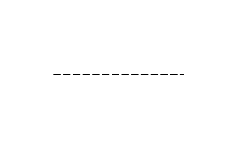
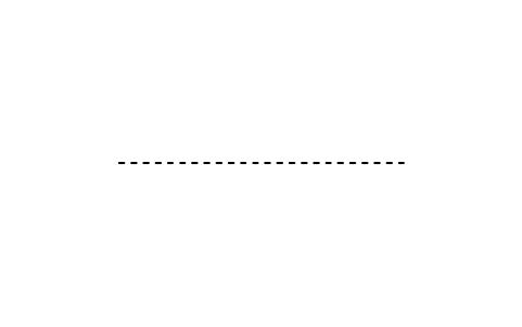
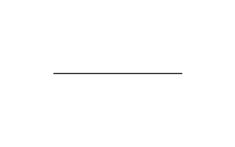
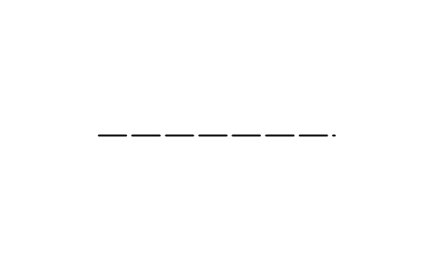
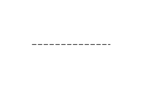
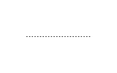
165 geologic map symbols at plotted size, 1 drawing unit = 1 mm, for geologic maps, field sheets and reports: strike and dip symbols for bedding (horizontal, inclined, vertical, overturned, top known, graded, cross-bedded), cleavage and slaty cleavage, and foliation (generic, flow banding, tectonic, eutaxitic, parallel to bedding, cumulate), each for a single observation and for many observations at one locality with the dip direction; 21 kinds of lineation (parting, slickenline, aligned and stretched objects, rodding, mullions, boudins, pencil structure, intersections) in inclined and horizontal form; 30 mm line samples for contacts, faults (accurate, approximate, inferred, concealed, questionable), thrust, normal and strike-slip faults and the axes of anticlines and synclines; water well symbols for irrigation and industrial supply (artesian, recharge, observation, dry, destroyed, test hole); and the weather station symbols.
Version 1.0 · updated October 22, 2026 · Check out what's changed
Using AutoCAD 2017 or an earlier version? Download the 2010 format
Free to use and modify in your own projects, including commercial ones. The ZIP holds one plain DWG file in AutoCAD 2018 format and a README; no add-in needed. Provided as is, without warranty.
Related symbol libraries
Works well with these tools
 Putting these symbols into 30 drawings?Replace a changed symbol in every drawing in one run, without opening each file.See BlockCopy
 Need to count these symbols across your drawings?Export every symbol and its attributes from a whole drawing set to Excel, edit the rows and write them back.See BlockSync
 Which drawings use this symbol?Search blocks and text across hundreds of drawings at once, then jump straight to the match.See DwgSearch
All 165 symbols
165 of 165 symbols
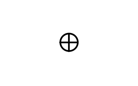
Bedding, horizontal
GEO_BED_HORIZONTALAttributes
STATION_IDSTRIKE_DEGOBSERVED_BYOBS_DATEREMARKSDESC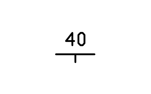
Bedding, inclined
GEO_BED_INCLINEDAttributes
DIPSTATION_IDSTRIKE_DEGDIP_DIRECTIONOBSERVED_BYOBS_DATEREMARKSDESC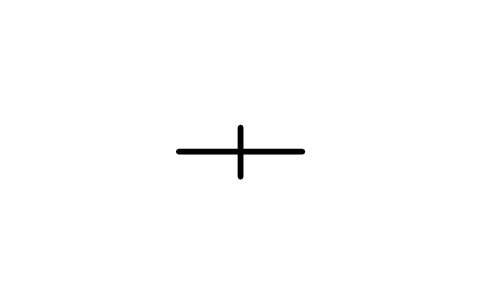
Bedding, vertical
GEO_BED_VERTICALAttributes
STATION_IDSTRIKE_DEGOBSERVED_BYOBS_DATEREMARKSDESC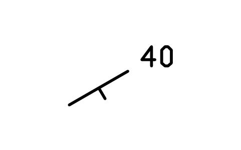
Bedding, multi right
GEO_BED_INCLINED_RIGHTAttributes
DIPSTATION_IDSTRIKE_DEGDIP_DIRECTIONOBSERVED_BYOBS_DATEREMARKSDESC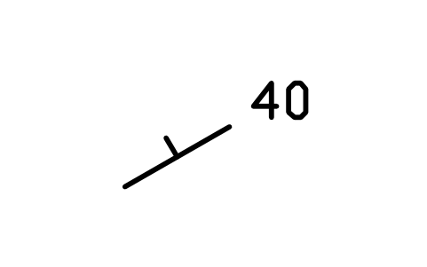
Bedding, multi left
GEO_BED_INCLINED_LEFTAttributes
DIPSTATION_IDSTRIKE_DEGDIP_DIRECTIONOBSERVED_BYOBS_DATEREMARKSDESC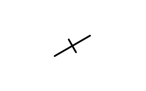
Bedding, multi vert.
GEO_BED_VERTICAL_MULTIAttributes
STATION_IDSTRIKE_DEGOBSERVED_BYOBS_DATEREMARKSDESC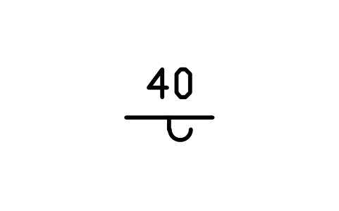
Bedding, overturned
GEO_BED_OVERTURNEDAttributes
DIPSTATION_IDSTRIKE_DEGDIP_DIRECTIONOBSERVED_BYOBS_DATEREMARKSDESC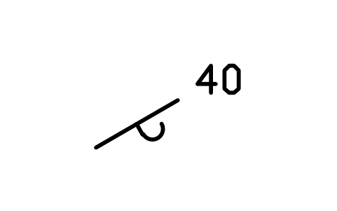
Bedding, overturned, right
GEO_BED_OVERTURNED_RIGHTAttributes
DIPSTATION_IDSTRIKE_DEGDIP_DIRECTIONOBSERVED_BYOBS_DATEREMARKSDESC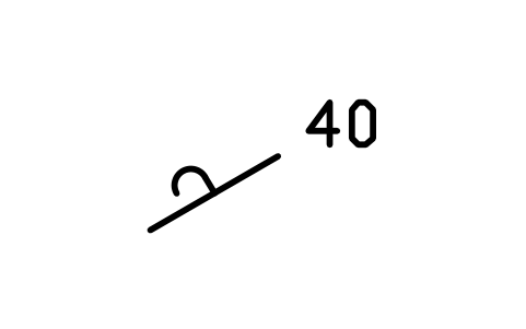
Bedding, overturned, left
GEO_BED_OVERTURNED_LEFTAttributes
DIPSTATION_IDSTRIKE_DEGDIP_DIRECTIONOBSERVED_BYOBS_DATEREMARKSDESC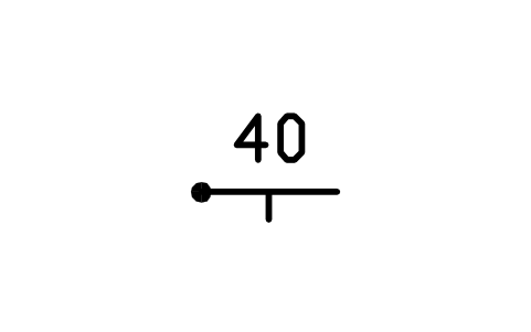
Bedding, top known
GEO_BED_TOP_KNOWNAttributes
DIPSTATION_IDSTRIKE_DEGDIP_DIRECTIONOBSERVED_BYOBS_DATEREMARKSDESC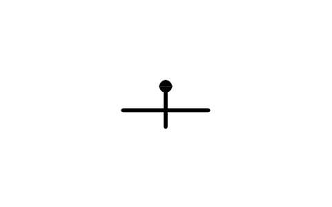
Bedding, vertical, top known
GEO_BED_TOP_KNOWN_VERTICALAttributes
STATION_IDSTRIKE_DEGOBSERVED_BYOBS_DATEREMARKSDESC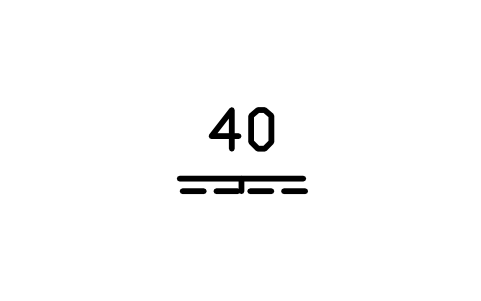
Bedding, graded
GEO_BED_GRADEDAttributes
DIPSTATION_IDSTRIKE_DEGDIP_DIRECTIONOBSERVED_BYOBS_DATEREMARKSDESC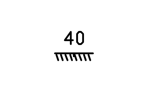
Bedding, cross-bedded
GEO_BED_CROSSBEDDEDAttributes
DIPSTATION_IDSTRIKE_DEGDIP_DIRECTIONOBSERVED_BYOBS_DATEREMARKSDESC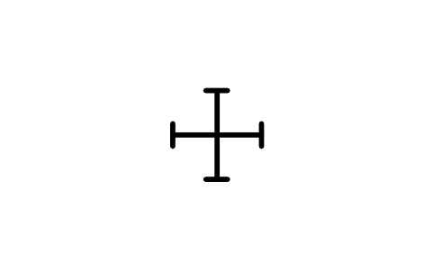
Cleavage, horizontal
GEO_CLV_HORIZONTALAttributes
STATION_IDSTRIKE_DEGOBSERVED_BYOBS_DATEREMARKSDESC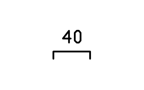
Cleavage, inclined
GEO_CLV_INCLINEDAttributes
DIPSTATION_IDSTRIKE_DEGDIP_DIRECTIONOBSERVED_BYOBS_DATEREMARKSDESC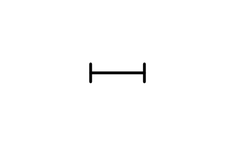
Cleavage, vertical
GEO_CLV_VERTICALAttributes
STATION_IDSTRIKE_DEGOBSERVED_BYOBS_DATEREMARKSDESC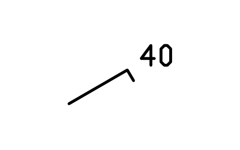
Cleavage, multi right
GEO_CLV_INCLINED_RIGHTAttributes
DIPSTATION_IDSTRIKE_DEGDIP_DIRECTIONOBSERVED_BYOBS_DATEREMARKSDESC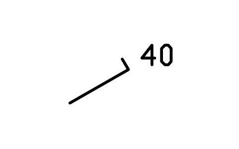
Cleavage, multi left
GEO_CLV_INCLINED_LEFTAttributes
DIPSTATION_IDSTRIKE_DEGDIP_DIRECTIONOBSERVED_BYOBS_DATEREMARKSDESC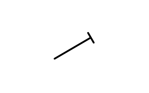
Cleavage, multi vert.
GEO_CLV_VERTICAL_MULTIAttributes
STATION_IDSTRIKE_DEGOBSERVED_BYOBS_DATEREMARKSDESC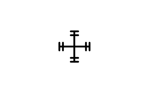
Slaty cleavage, horizontal
GEO_SLATY_HORIZONTALAttributes
STATION_IDSTRIKE_DEGOBSERVED_BYOBS_DATEREMARKSDESC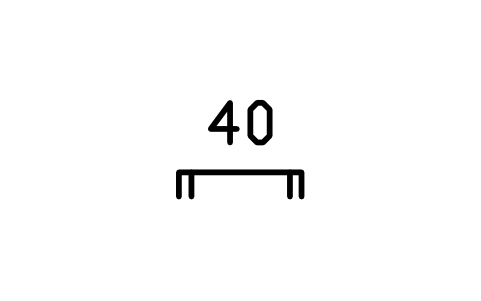
Slaty cleavage, inclined
GEO_SLATY_INCLINEDAttributes
DIPSTATION_IDSTRIKE_DEGDIP_DIRECTIONOBSERVED_BYOBS_DATEREMARKSDESC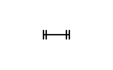
Slaty cleavage, vertical
GEO_SLATY_VERTICALAttributes
STATION_IDSTRIKE_DEGOBSERVED_BYOBS_DATEREMARKSDESC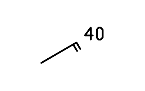
Slaty cleavage, multi right
GEO_SLATY_INCLINED_RIGHTAttributes
DIPSTATION_IDSTRIKE_DEGDIP_DIRECTIONOBSERVED_BYOBS_DATEREMARKSDESC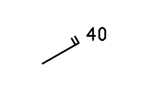
Slaty cleavage, multi left
GEO_SLATY_INCLINED_LEFTAttributes
DIPSTATION_IDSTRIKE_DEGDIP_DIRECTIONOBSERVED_BYOBS_DATEREMARKSDESC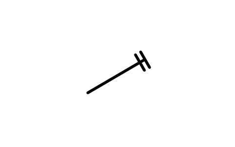
Slaty cleavage, multi vert.
GEO_SLATY_VERTICAL_MULTIAttributes
STATION_IDSTRIKE_DEGOBSERVED_BYOBS_DATEREMARKSDESC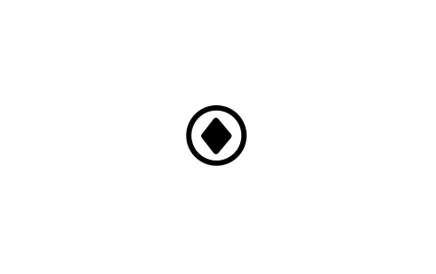
Foliation, horizontal
GEO_FOL_HORIZONTALAttributes
STATION_IDSTRIKE_DEGOBSERVED_BYOBS_DATEREMARKSDESC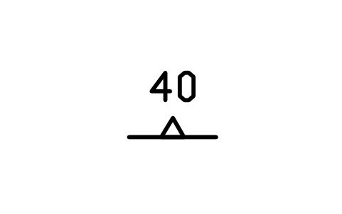
Foliation, inclined
GEO_FOL_INCLINEDAttributes
DIPSTATION_IDSTRIKE_DEGDIP_DIRECTIONOBSERVED_BYOBS_DATEREMARKSDESC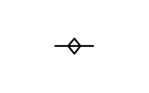
Foliation, vertical
GEO_FOL_VERTICALAttributes
STATION_IDSTRIKE_DEGOBSERVED_BYOBS_DATEREMARKSDESC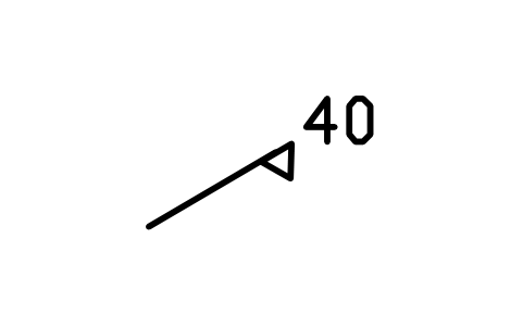
Foliation, multi right
GEO_FOL_INCLINED_RIGHTAttributes
DIPSTATION_IDSTRIKE_DEGDIP_DIRECTIONOBSERVED_BYOBS_DATEREMARKSDESC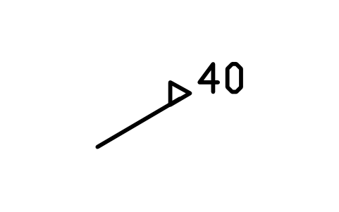
Foliation, multi left
GEO_FOL_INCLINED_LEFTAttributes
DIPSTATION_IDSTRIKE_DEGDIP_DIRECTIONOBSERVED_BYOBS_DATEREMARKSDESC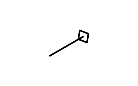
Foliation, multi vert.
GEO_FOL_VERTICAL_MULTIAttributes
STATION_IDSTRIKE_DEGOBSERVED_BYOBS_DATEREMARKSDESC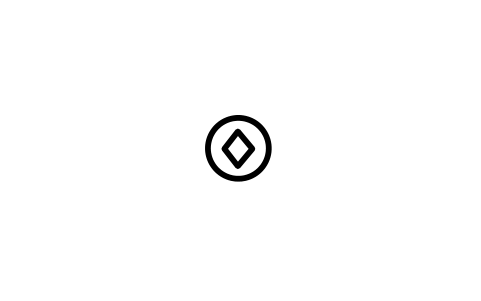
Flow banding, horizontal
GEO_FLB_HORIZONTALAttributes
STATION_IDSTRIKE_DEGOBSERVED_BYOBS_DATEREMARKSDESC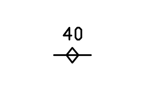
Flow banding, inclined
GEO_FLB_INCLINEDAttributes
DIPSTATION_IDSTRIKE_DEGDIP_DIRECTIONOBSERVED_BYOBS_DATEREMARKSDESC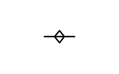
Flow banding, vertical
GEO_FLB_VERTICALAttributes
STATION_IDSTRIKE_DEGOBSERVED_BYOBS_DATEREMARKSDESC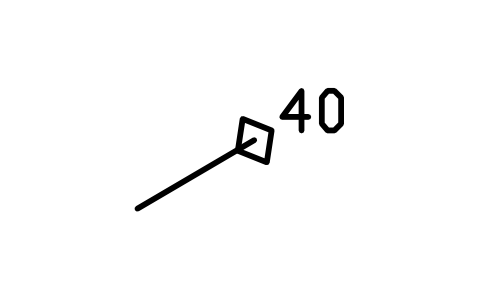
Flow banding, multi right
GEO_FLB_INCLINED_RIGHTAttributes
DIPSTATION_IDSTRIKE_DEGDIP_DIRECTIONOBSERVED_BYOBS_DATEREMARKSDESC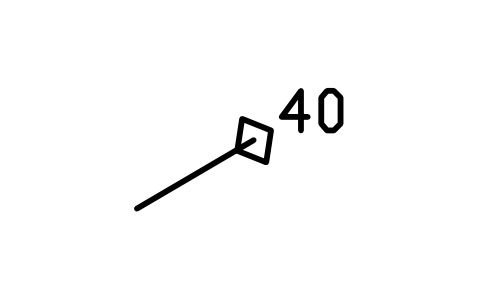
Flow banding, multi left
GEO_FLB_INCLINED_LEFTAttributes
DIPSTATION_IDSTRIKE_DEGDIP_DIRECTIONOBSERVED_BYOBS_DATEREMARKSDESC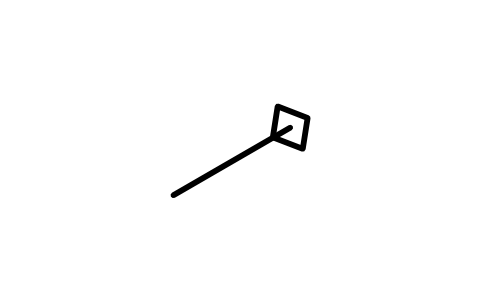
Flow banding, multi vert.
GEO_FLB_VERTICAL_MULTIAttributes
STATION_IDSTRIKE_DEGOBSERVED_BYOBS_DATEREMARKSDESC
Tectonic foliation, horizontal
GEO_MET_HORIZONTALAttributes
STATION_IDSTRIKE_DEGOBSERVED_BYOBS_DATEREMARKSDESC
Tectonic foliation, inclined
GEO_MET_INCLINEDAttributes
DIPSTATION_IDSTRIKE_DEGDIP_DIRECTIONOBSERVED_BYOBS_DATEREMARKSDESC
Tectonic foliation, vertical
GEO_MET_VERTICALAttributes
STATION_IDSTRIKE_DEGOBSERVED_BYOBS_DATEREMARKSDESC
Tectonic foliation, multi right
GEO_MET_INCLINED_RIGHTAttributes
DIPSTATION_IDSTRIKE_DEGDIP_DIRECTIONOBSERVED_BYOBS_DATEREMARKSDESC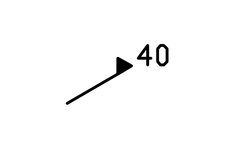
Tectonic foliation, multi left
GEO_MET_INCLINED_LEFTAttributes
DIPSTATION_IDSTRIKE_DEGDIP_DIRECTIONOBSERVED_BYOBS_DATEREMARKSDESC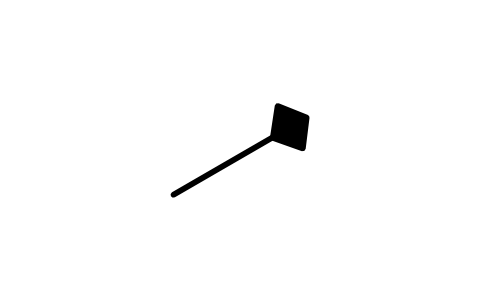
Tectonic foliation, multi vert.
GEO_MET_VERTICAL_MULTIAttributes
STATION_IDSTRIKE_DEGOBSERVED_BYOBS_DATEREMARKSDESC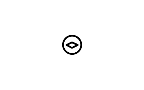
Eutaxitic, horizontal
GEO_EUT_HORIZONTALAttributes
STATION_IDSTRIKE_DEGOBSERVED_BYOBS_DATEREMARKSDESC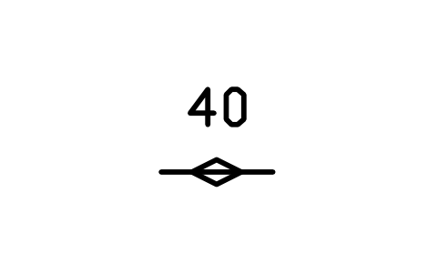
Eutaxitic, inclined
GEO_EUT_INCLINEDAttributes
DIPSTATION_IDSTRIKE_DEGDIP_DIRECTIONOBSERVED_BYOBS_DATEREMARKSDESC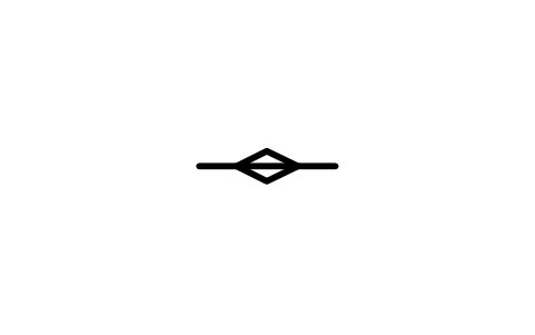
Eutaxitic, vertical
GEO_EUT_VERTICALAttributes
STATION_IDSTRIKE_DEGOBSERVED_BYOBS_DATEREMARKSDESC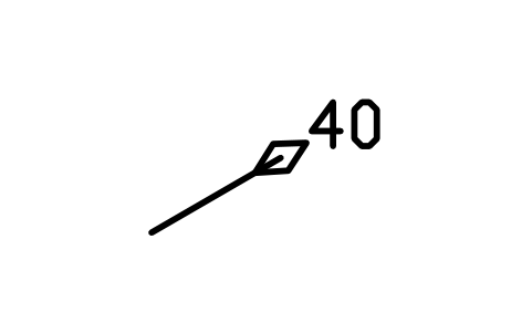
Eutaxitic, multi right
GEO_EUT_INCLINED_RIGHTAttributes
DIPSTATION_IDSTRIKE_DEGDIP_DIRECTIONOBSERVED_BYOBS_DATEREMARKSDESC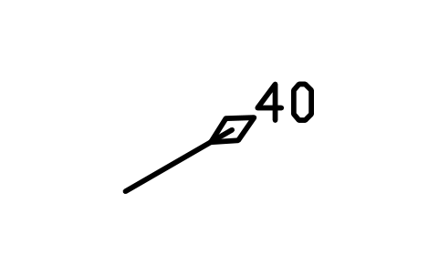
Eutaxitic, multi left
GEO_EUT_INCLINED_LEFTAttributes
DIPSTATION_IDSTRIKE_DEGDIP_DIRECTIONOBSERVED_BYOBS_DATEREMARKSDESC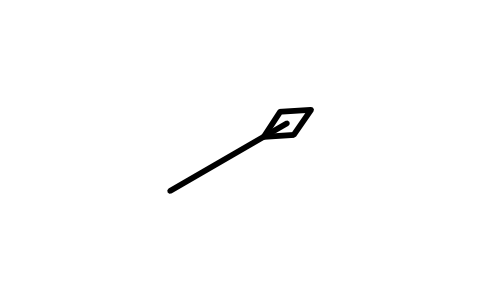
Eutaxitic, multi vert.
GEO_EUT_VERTICAL_MULTIAttributes
STATION_IDSTRIKE_DEGOBSERVED_BYOBS_DATEREMARKSDESC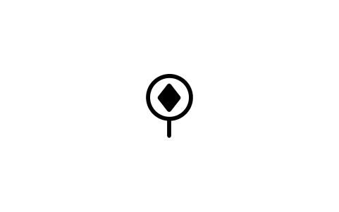
Bedding foliation, horizontal
GEO_PAR_HORIZONTALAttributes
STATION_IDSTRIKE_DEGOBSERVED_BYOBS_DATEREMARKSDESC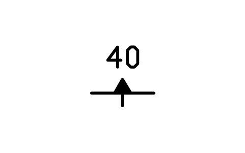
Bedding foliation, inclined
GEO_PAR_INCLINEDAttributes
DIPSTATION_IDSTRIKE_DEGDIP_DIRECTIONOBSERVED_BYOBS_DATEREMARKSDESC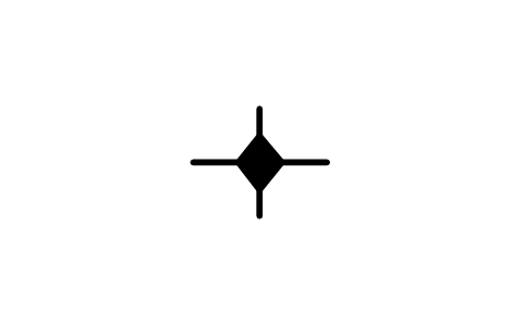
Bedding foliation, vertical
GEO_PAR_VERTICALAttributes
STATION_IDSTRIKE_DEGOBSERVED_BYOBS_DATEREMARKSDESC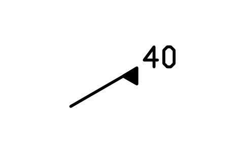
Bedding foliation, multi right
GEO_PAR_INCLINED_RIGHTAttributes
DIPSTATION_IDSTRIKE_DEGDIP_DIRECTIONOBSERVED_BYOBS_DATEREMARKSDESC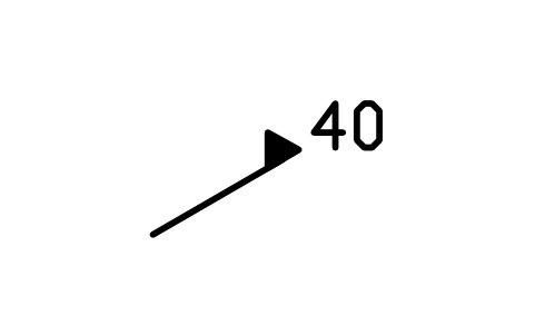
Bedding foliation, multi left
GEO_PAR_INCLINED_LEFTAttributes
DIPSTATION_IDSTRIKE_DEGDIP_DIRECTIONOBSERVED_BYOBS_DATEREMARKSDESC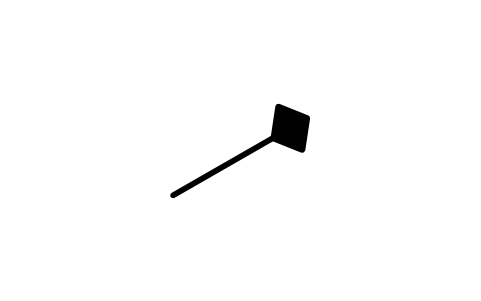
Bedding foliation, multi vert.
GEO_PAR_VERTICAL_MULTIAttributes
STATION_IDSTRIKE_DEGOBSERVED_BYOBS_DATEREMARKSDESC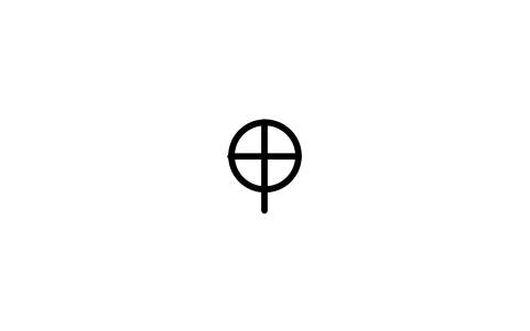
Cumulate foliation, horizontal
GEO_CUM_HORIZONTALAttributes
STATION_IDSTRIKE_DEGOBSERVED_BYOBS_DATEREMARKSDESC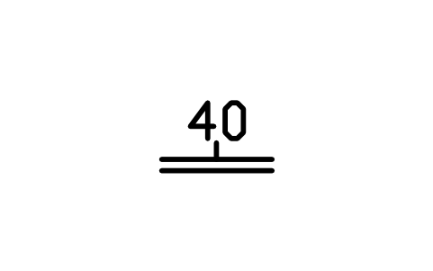
Cumulate foliation, inclined
GEO_CUM_INCLINEDAttributes
DIPSTATION_IDSTRIKE_DEGDIP_DIRECTIONOBSERVED_BYOBS_DATEREMARKSDESC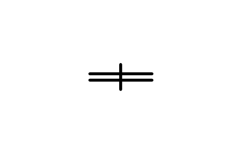
Cumulate foliation, vertical
GEO_CUM_VERTICALAttributes
STATION_IDSTRIKE_DEGOBSERVED_BYOBS_DATEREMARKSDESC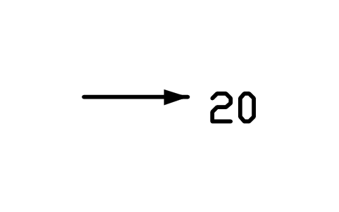
Lineation, inclined
GEO_LIN_GENERIC_INCLINEDAttributes
PLUNGESTATION_IDBEARING_DEGOBSERVED_BYOBS_DATEREMARKSDESC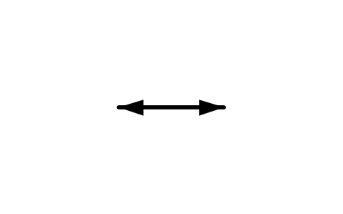
Lineation, horizontal
GEO_LIN_GENERIC_HORIZONTALAttributes
STATION_IDSTRIKE_DEGOBSERVED_BYOBS_DATEREMARKSDESC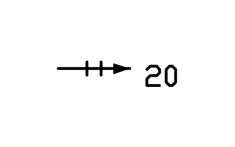
Parting lineation, inclined
GEO_LIN_PARTING_INCLINEDAttributes
PLUNGESTATION_IDBEARING_DEGOBSERVED_BYOBS_DATEREMARKSDESC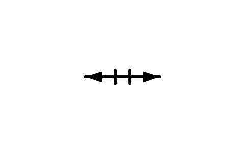
Parting lineation, horizontal
GEO_LIN_PARTING_HORIZONTALAttributes
STATION_IDSTRIKE_DEGOBSERVED_BYOBS_DATEREMARKSDESC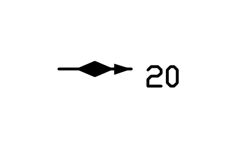
Sole or tool mark, inclined
GEO_LIN_SOLE_INCLINEDAttributes
PLUNGESTATION_IDBEARING_DEGOBSERVED_BYOBS_DATEREMARKSDESC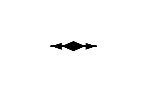
Sole or tool mark, horizontal
GEO_LIN_SOLE_HORIZONTALAttributes
STATION_IDSTRIKE_DEGOBSERVED_BYOBS_DATEREMARKSDESC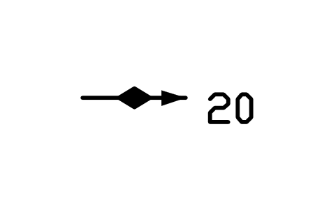
Slickenline, inclined
GEO_LIN_SLICK_INCLINEDAttributes
PLUNGESTATION_IDBEARING_DEGOBSERVED_BYOBS_DATEREMARKSDESC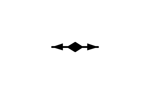
Slickenline, horizontal
GEO_LIN_SLICK_HORIZONTALAttributes
STATION_IDSTRIKE_DEGOBSERVED_BYOBS_DATEREMARKSDESC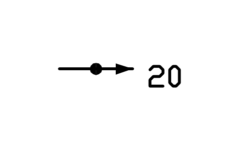
Aligned object, inclined
GEO_LIN_OBJECT_INCLINEDAttributes
PLUNGESTATION_IDBEARING_DEGOBSERVED_BYOBS_DATEREMARKSDESC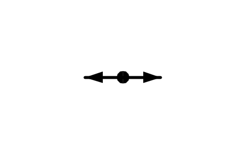
Aligned object, horizontal
GEO_LIN_OBJECT_HORIZONTALAttributes
STATION_IDSTRIKE_DEGOBSERVED_BYOBS_DATEREMARKSDESC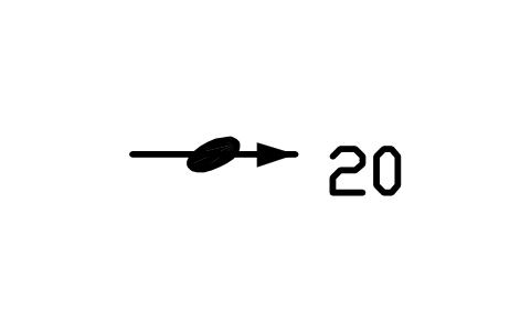
Aligned clast, inclined
GEO_LIN_CLAST_INCLINEDAttributes
PLUNGESTATION_IDBEARING_DEGOBSERVED_BYOBS_DATEREMARKSDESC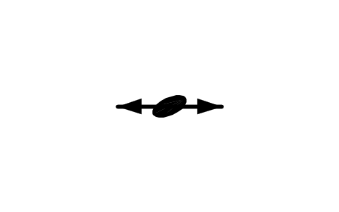
Aligned clast, horizontal
GEO_LIN_CLAST_HORIZONTALAttributes
STATION_IDSTRIKE_DEGOBSERVED_BYOBS_DATEREMARKSDESC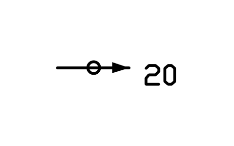
Aligned inclusion, inclined
GEO_LIN_INCL_INCLINEDAttributes
PLUNGESTATION_IDBEARING_DEGOBSERVED_BYOBS_DATEREMARKSDESC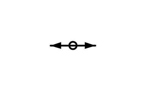
Aligned inclusion, horizontal
GEO_LIN_INCL_HORIZONTALAttributes
STATION_IDSTRIKE_DEGOBSERVED_BYOBS_DATEREMARKSDESC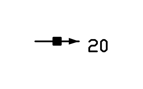
Aligned mineral, inclined
GEO_LIN_MINERAL_INCLINEDAttributes
PLUNGESTATION_IDBEARING_DEGOBSERVED_BYOBS_DATEREMARKSDESC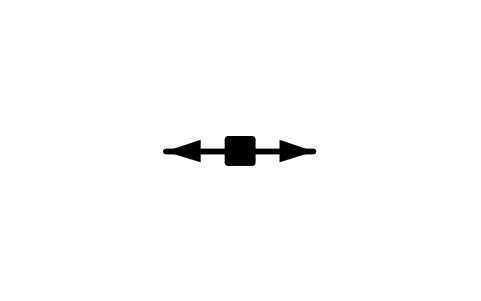
Aligned mineral, horizontal
GEO_LIN_MINERAL_HORIZONTALAttributes
STATION_IDSTRIKE_DEGOBSERVED_BYOBS_DATEREMARKSDESC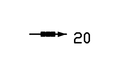
Mineral aggregate, inclined
GEO_LIN_AGGR_INCLINEDAttributes
PLUNGESTATION_IDBEARING_DEGOBSERVED_BYOBS_DATEREMARKSDESC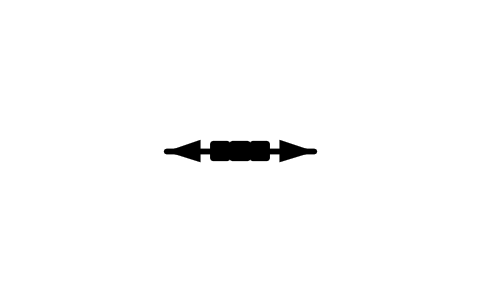
Mineral aggregate, horizontal
GEO_LIN_AGGR_HORIZONTALAttributes
STATION_IDSTRIKE_DEGOBSERVED_BYOBS_DATEREMARKSDESC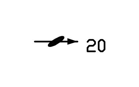
Deformed mineral, inclined
GEO_LIN_DEFMIN_INCLINEDAttributes
PLUNGESTATION_IDBEARING_DEGOBSERVED_BYOBS_DATEREMARKSDESC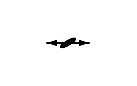
Deformed mineral, horizontal
GEO_LIN_DEFMIN_HORIZONTALAttributes
STATION_IDSTRIKE_DEGOBSERVED_BYOBS_DATEREMARKSDESC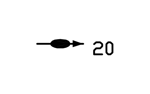
Stretched object, inclined
GEO_LIN_STRETCH_INCLINEDAttributes
PLUNGESTATION_IDBEARING_DEGOBSERVED_BYOBS_DATEREMARKSDESC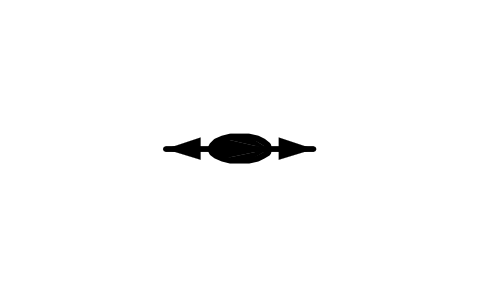
Stretched object, horizontal
GEO_LIN_STRETCH_HORIZONTALAttributes
STATION_IDSTRIKE_DEGOBSERVED_BYOBS_DATEREMARKSDESC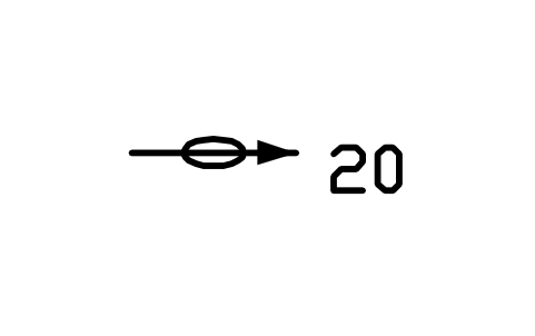
Stretched pebble, inclined
GEO_LIN_PEBBLE_INCLINEDAttributes
PLUNGESTATION_IDBEARING_DEGOBSERVED_BYOBS_DATEREMARKSDESC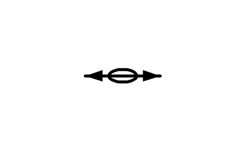
Stretched pebble, horizontal
GEO_LIN_PEBBLE_HORIZONTALAttributes
STATION_IDSTRIKE_DEGOBSERVED_BYOBS_DATEREMARKSDESC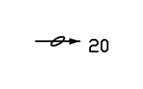
Stretched ooid, inclined
GEO_LIN_OOID_INCLINEDAttributes
PLUNGESTATION_IDBEARING_DEGOBSERVED_BYOBS_DATEREMARKSDESC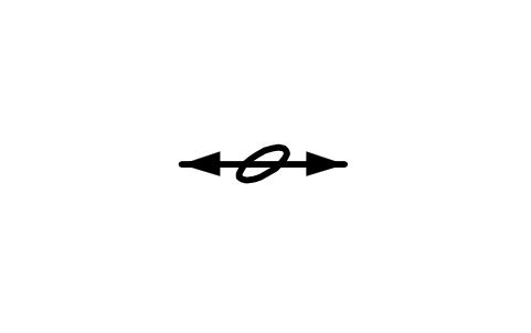
Stretched ooid, horizontal
GEO_LIN_OOID_HORIZONTALAttributes
STATION_IDSTRIKE_DEGOBSERVED_BYOBS_DATEREMARKSDESC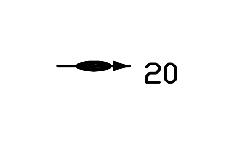
Rodding, inclined
GEO_LIN_ROD_INCLINEDAttributes
PLUNGESTATION_IDBEARING_DEGOBSERVED_BYOBS_DATEREMARKSDESC
Rodding, horizontal
GEO_LIN_ROD_HORIZONTALAttributes
STATION_IDSTRIKE_DEGOBSERVED_BYOBS_DATEREMARKSDESC
Mullions, inclined
GEO_LIN_MULLION_INCLINEDAttributes
PLUNGESTATION_IDBEARING_DEGOBSERVED_BYOBS_DATEREMARKSDESC
Mullions, horizontal
GEO_LIN_MULLION_HORIZONTALAttributes
STATION_IDSTRIKE_DEGOBSERVED_BYOBS_DATEREMARKSDESC
Boudins, inclined
GEO_LIN_BOUDIN_INCLINEDAttributes
PLUNGESTATION_IDBEARING_DEGOBSERVED_BYOBS_DATEREMARKSDESC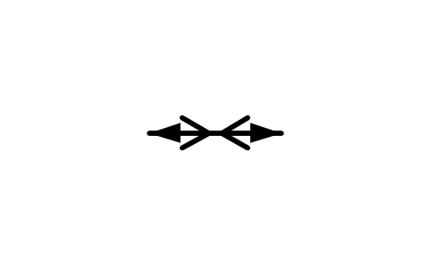
Boudins, horizontal
GEO_LIN_BOUDIN_HORIZONTALAttributes
STATION_IDSTRIKE_DEGOBSERVED_BYOBS_DATEREMARKSDESC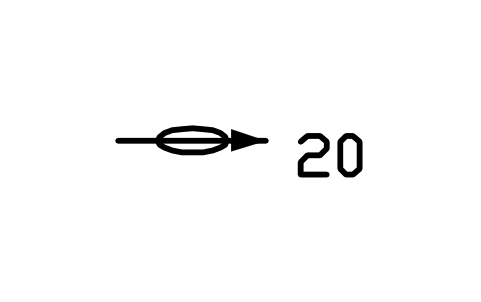
Pencil structure, inclined
GEO_LIN_PENCIL_INCLINEDAttributes
PLUNGESTATION_IDBEARING_DEGOBSERVED_BYOBS_DATEREMARKSDESC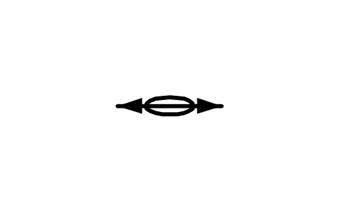
Pencil structure, horizontal
GEO_LIN_PENCIL_HORIZONTALAttributes
STATION_IDSTRIKE_DEGOBSERVED_BYOBS_DATEREMARKSDESC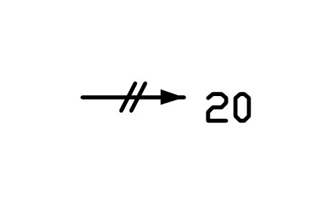
Two cleavages, inclined
GEO_LIN_CLEAV2_INCLINEDAttributes
PLUNGESTATION_IDBEARING_DEGOBSERVED_BYOBS_DATEREMARKSDESC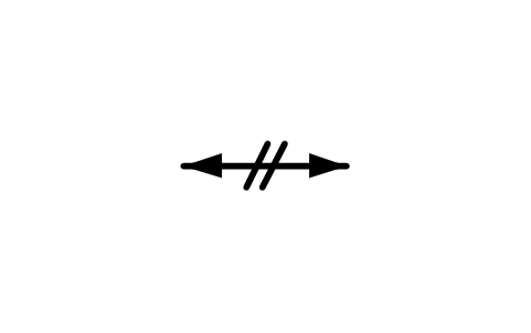
Two cleavages, horizontal
GEO_LIN_CLEAV2_HORIZONTALAttributes
STATION_IDSTRIKE_DEGOBSERVED_BYOBS_DATEREMARKSDESC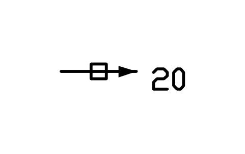
Two fractures, inclined
GEO_LIN_FRACT_INCLINEDAttributes
PLUNGESTATION_IDBEARING_DEGOBSERVED_BYOBS_DATEREMARKSDESC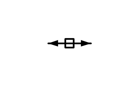
Two fractures, horizontal
GEO_LIN_FRACT_HORIZONTALAttributes
STATION_IDSTRIKE_DEGOBSERVED_BYOBS_DATEREMARKSDESC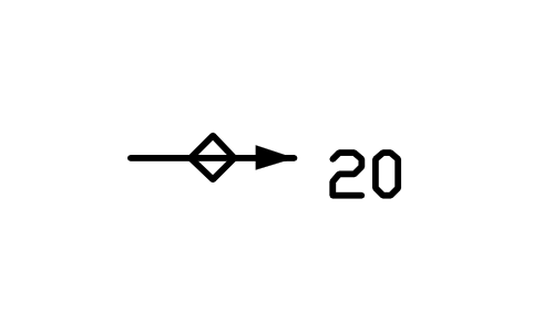
Two foliations, inclined
GEO_LIN_FOLI2_INCLINEDAttributes
PLUNGESTATION_IDBEARING_DEGOBSERVED_BYOBS_DATEREMARKSDESC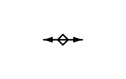
Two foliations, horizontal
GEO_LIN_FOLI2_HORIZONTALAttributes
STATION_IDSTRIKE_DEGOBSERVED_BYOBS_DATEREMARKSDESC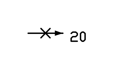
Two surfaces, inclined
GEO_LIN_SURF_INCLINEDAttributes
PLUNGESTATION_IDBEARING_DEGOBSERVED_BYOBS_DATEREMARKSDESC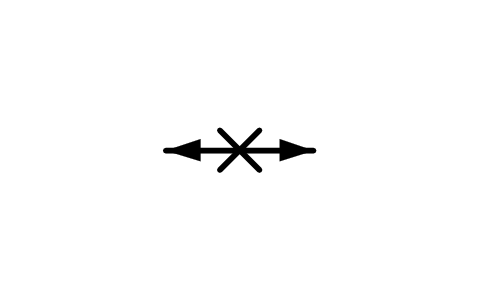
Two surfaces, horizontal
GEO_LIN_SURF_HORIZONTALAttributes
STATION_IDSTRIKE_DEGOBSERVED_BYOBS_DATEREMARKSDESC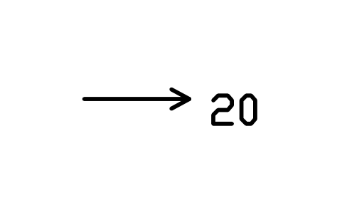
Lineation, inclined, open head
GEO_LIN_GENERIC_INCLINED_OPENAttributes
PLUNGESTATION_IDBEARING_DEGOBSERVED_BYOBS_DATEREMARKSDESC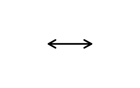
Lineation, horiz., open head
GEO_LIN_GENERIC_HORIZONTAL_OPENAttributes
STATION_IDSTRIKE_DEGOBSERVED_BYOBS_DATEREMARKSDESC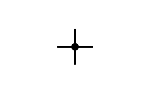
Lineation, vertical
GEO_LIN_GENERIC_VERTICALAttributes
STATION_IDSTRIKE_DEGOBSERVED_BYOBS_DATEREMARKSDESC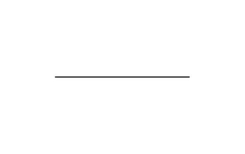
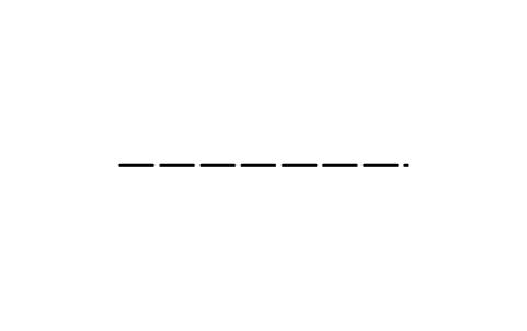
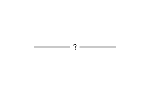
Fault, accurate, questionable
GEO_FAULT_ACCURATE_QUESTIONABLEAttributes
UNIT_NAMECONFIDENCEREMARKSDESC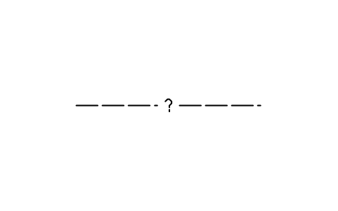
Fault, approx., questionable
GEO_FAULT_APPROX_QUESTIONABLEAttributes
UNIT_NAMECONFIDENCEREMARKSDESC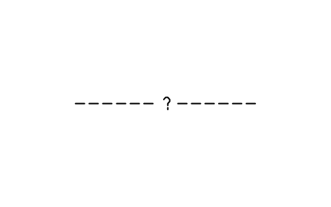
Fault, inferred, questionable
GEO_FAULT_INFERRED_QUESTIONABLEAttributes
UNIT_NAMECONFIDENCEREMARKSDESC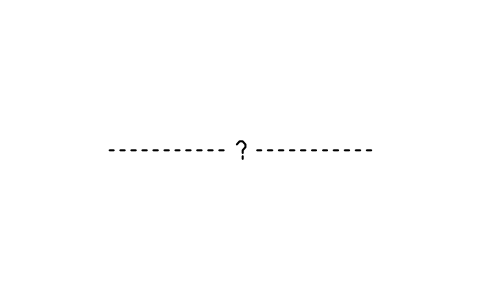
Fault, concealed, questionable
GEO_FAULT_CONCEALED_QUESTIONABLEAttributes
UNIT_NAMECONFIDENCEREMARKSDESC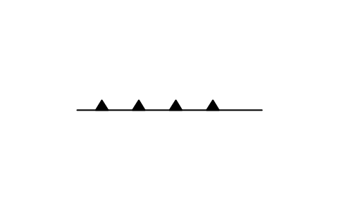
Thrust fault, accurate
GEO_THRUST_ACCURATEAttributes
UNIT_NAMECONFIDENCEREMARKSDESC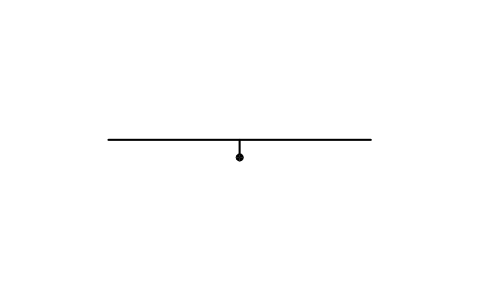
Normal fault, accurate
GEO_NORMAL_ACCURATEAttributes
UNIT_NAMECONFIDENCEREMARKSDESC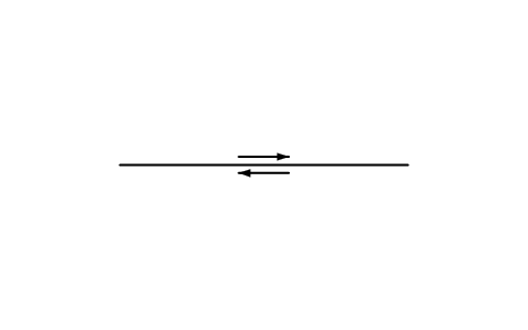
Right-lateral fault, accurate
GEO_RIGHTLAT_ACCURATEAttributes
UNIT_NAMECONFIDENCEREMARKSDESC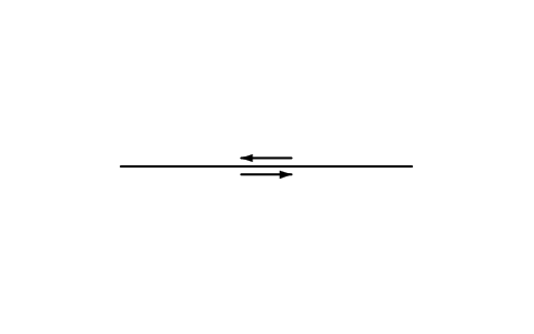
Left-lateral fault, accurate
GEO_LEFTLAT_ACCURATEAttributes
UNIT_NAMECONFIDENCEREMARKSDESC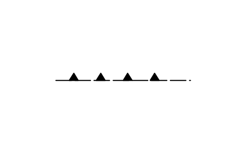
Thrust fault, approximate
GEO_THRUST_APPROXAttributes
UNIT_NAMECONFIDENCEREMARKSDESC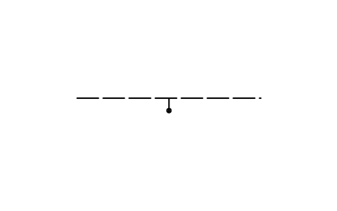
Normal fault, approximate
GEO_NORMAL_APPROXAttributes
UNIT_NAMECONFIDENCEREMARKSDESC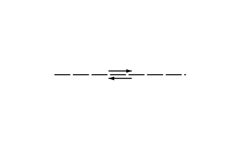
Right-lateral fault, approx.
GEO_RIGHTLAT_APPROXAttributes
UNIT_NAMECONFIDENCEREMARKSDESC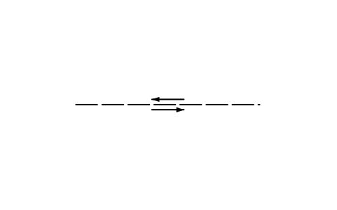
Left-lateral fault, approx.
GEO_LEFTLAT_APPROXAttributes
UNIT_NAMECONFIDENCEREMARKSDESC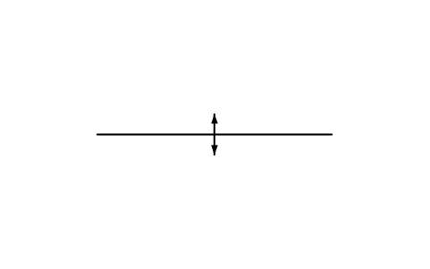
Anticline axis, accurate
GEO_ANTICLINE_ACCURATEAttributes
UNIT_NAMECONFIDENCEREMARKSDESC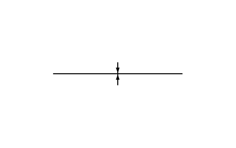
Syncline axis, accurate
GEO_SYNCLINE_ACCURATEAttributes
UNIT_NAMECONFIDENCEREMARKSDESC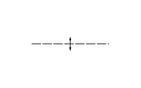
Anticline axis, approximate
GEO_ANTICLINE_APPROXAttributes
UNIT_NAMECONFIDENCEREMARKSDESC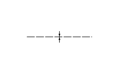
Syncline axis, approximate
GEO_SYNCLINE_APPROXAttributes
UNIT_NAMECONFIDENCEREMARKSDESC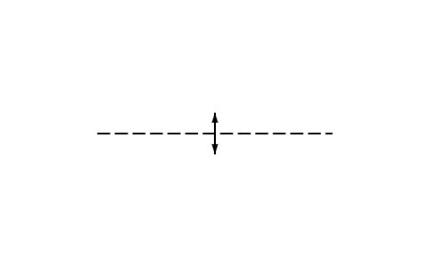
Anticline axis, inferred
GEO_ANTICLINE_INFERREDAttributes
UNIT_NAMECONFIDENCEREMARKSDESC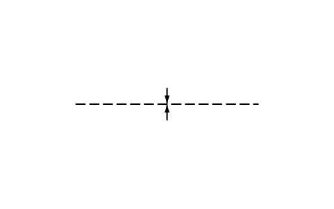
Syncline axis, inferred
GEO_SYNCLINE_INFERREDAttributes
UNIT_NAMECONFIDENCEREMARKSDESC
Weather station
GEO_WX_UNSPECIFIEDAttributes
STATION_IDELEVATION_MDEPTH_MOPERATOROBS_DATEREMARKSDESC
Weather station, discontinued
GEO_WX_DISCONTINUEDAttributes
STATION_IDELEVATION_MDEPTH_MOPERATOROBS_DATEREMARKSDESC
Snow-survey course, radio
GEO_WX_SNOW_RADIOAttributes
STATION_IDELEVATION_MDEPTH_MOPERATOROBS_DATEREMARKSDESC
Snow-survey course, recorder
GEO_WX_SNOW_RECORDERAttributes
STATION_IDELEVATION_MDEPTH_MOPERATOROBS_DATEREMARKSDESC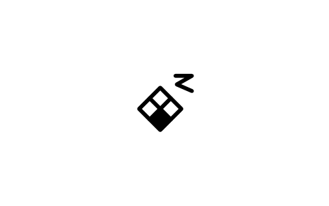
Precipitation station, radio
GEO_WX_PRECIP_RADIOAttributes
STATION_IDELEVATION_MDEPTH_MOPERATOROBS_DATEREMARKSDESC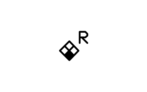
Precipitation station, recorder
GEO_WX_PRECIP_RECORDERAttributes
STATION_IDELEVATION_MDEPTH_MOPERATOROBS_DATEREMARKSDESC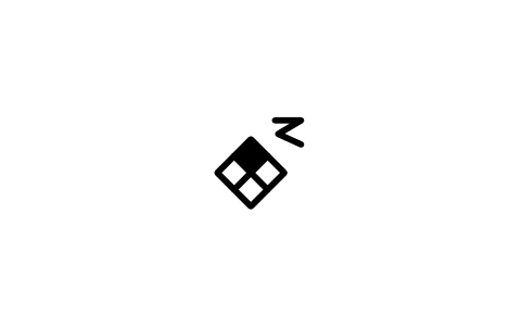
Evaporation station, radio
GEO_WX_EVAP_RADIOAttributes
STATION_IDELEVATION_MDEPTH_MOPERATOROBS_DATEREMARKSDESC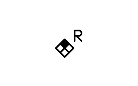
Evaporation station, recorder
GEO_WX_EVAP_RECORDERAttributes
STATION_IDELEVATION_MDEPTH_MOPERATOROBS_DATEREMARKSDESC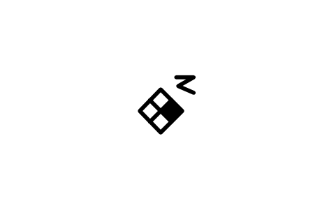
Temperature station, radio
GEO_WX_TEMP_RADIOAttributes
STATION_IDELEVATION_MDEPTH_MOPERATOROBS_DATEREMARKSDESC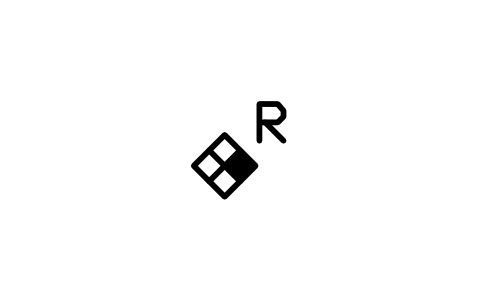
Temperature station, recorder
GEO_WX_TEMP_RECORDERAttributes
STATION_IDELEVATION_MDEPTH_MOPERATOROBS_DATEREMARKSDESC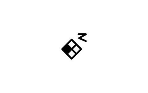
Humidity station, radio
GEO_WX_HUMID_RADIOAttributes
STATION_IDELEVATION_MDEPTH_MOPERATOROBS_DATEREMARKSDESC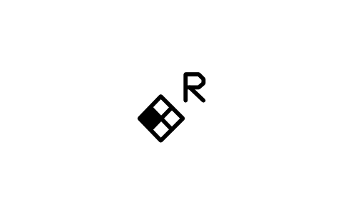
Humidity station, recorder
GEO_WX_HUMID_RECORDERAttributes
STATION_IDELEVATION_MDEPTH_MOPERATOROBS_DATEREMARKSDESC
Solar radiation, radio
GEO_WX_SOLAR_RADIOAttributes
STATION_IDELEVATION_MDEPTH_MOPERATOROBS_DATEREMARKSDESC
Solar radiation, recorder
GEO_WX_SOLAR_RECORDERAttributes
STATION_IDELEVATION_MDEPTH_MOPERATOROBS_DATEREMARKSDESC
Wind velocity station, radio
GEO_WX_WIND_RADIOAttributes
STATION_IDELEVATION_MDEPTH_MOPERATOROBS_DATEREMARKSDESC
Wind velocity station, recorder
GEO_WX_WIND_RECORDERAttributes
STATION_IDELEVATION_MDEPTH_MOPERATOROBS_DATEREMARKSDESC
Complete station, radio
GEO_WX_COMPLETE_RADIOAttributes
STATION_IDELEVATION_MDEPTH_MOPERATOROBS_DATEREMARKSDESC
Complete station, recorder
GEO_WX_COMPLETE_RECORDERAttributes
STATION_IDELEVATION_MDEPTH_MOPERATOROBS_DATEREMARKSDESC
Well, irrigation
GEO_WELL_IRR_PLAINAttributes
STATION_IDELEVATION_MDEPTH_MOPERATOROBS_DATEREMARKSDESC
Artesian well, irrigation
GEO_WELL_IRR_ARTESIANAttributes
STATION_IDELEVATION_MDEPTH_MOPERATOROBS_DATEREMARKSDESC
Nonflowing well, irrigation
GEO_WELL_IRR_NONFLOWAttributes
STATION_IDELEVATION_MDEPTH_MOPERATOROBS_DATEREMARKSDESC
Recharge well, irrigation
GEO_WELL_IRR_RECHARGEAttributes
STATION_IDELEVATION_MDEPTH_MOPERATOROBS_DATEREMARKSDESC
Observation well, irrigation
GEO_WELL_IRR_OBSAttributes
STATION_IDELEVATION_MDEPTH_MOPERATOROBS_DATEREMARKSDESC
Obs. well, recorder, irrigation
GEO_WELL_IRR_OBS_RECAttributes
STATION_IDELEVATION_MDEPTH_MOPERATOROBS_DATEREMARKSDESC
Dry well, irrigation
GEO_WELL_IRR_DRYAttributes
STATION_IDELEVATION_MDEPTH_MOPERATOROBS_DATEREMARKSDESC
Destroyed well, irrigation
GEO_WELL_IRR_DESTROYEDAttributes
STATION_IDELEVATION_MDEPTH_MOPERATOROBS_DATEREMARKSDESC
Test hole, irrigation
GEO_WELL_IRR_TESTAttributes
STATION_IDELEVATION_MDEPTH_MOPERATOROBS_DATEREMARKSDESC
Well, industrial
GEO_WELL_IND_PLAINAttributes
STATION_IDELEVATION_MDEPTH_MOPERATOROBS_DATEREMARKSDESC
Artesian well, industrial
GEO_WELL_IND_ARTESIANAttributes
STATION_IDELEVATION_MDEPTH_MOPERATOROBS_DATEREMARKSDESC
Nonflowing well, industrial
GEO_WELL_IND_NONFLOWAttributes
STATION_IDELEVATION_MDEPTH_MOPERATOROBS_DATEREMARKSDESC
Recharge well, industrial
GEO_WELL_IND_RECHARGEAttributes
STATION_IDELEVATION_MDEPTH_MOPERATOROBS_DATEREMARKSDESC
Observation well, industrial
GEO_WELL_IND_OBSAttributes
STATION_IDELEVATION_MDEPTH_MOPERATOROBS_DATEREMARKSDESC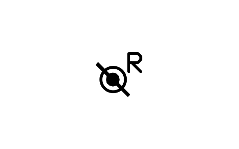
Obs. well, recorder, industrial
GEO_WELL_IND_OBS_RECAttributes
STATION_IDELEVATION_MDEPTH_MOPERATOROBS_DATEREMARKSDESC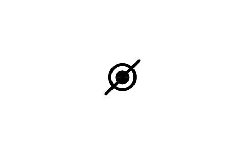
Dry well, industrial
GEO_WELL_IND_DRYAttributes
STATION_IDELEVATION_MDEPTH_MOPERATOROBS_DATEREMARKSDESC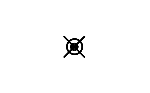
Destroyed well, industrial
GEO_WELL_IND_DESTROYEDAttributes
STATION_IDELEVATION_MDEPTH_MOPERATOROBS_DATEREMARKSDESC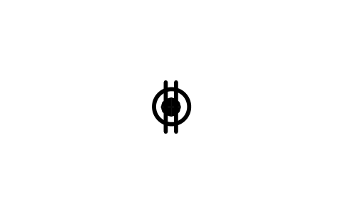
Test hole, industrial
GEO_WELL_IND_TESTAttributes
STATION_IDELEVATION_MDEPTH_MOPERATOROBS_DATEREMARKSDESC
Missing a symbol? Tell us which one.
Attributes for parts lists
The inclined symbols show the dip as a visible attribute DIP, the lineation arrows show the plunge as PLUNGE; type the number and it sits next to the symbol. The invisible attributes STATION_ID, STRIKE_DEG (BEARING_DEG for lineation), DIP_DIRECTION, OBSERVED_BY, OBS_DATE and REMARKS are on the structure symbols, and wells and weather stations carry STATION_ID, ELEVATION_M, DEPTH_M, OPERATOR, OBS_DATE and REMARKS. The line samples have UNIT_NAME, CONFIDENCE and REMARKS.
Export the blocks with BlockSync to Excel to get a table of all field measurements on a map sheet: station, strike, dip, dip direction, observer and date. Check or complete the table and write it back in one run, or hand it to a colleague who builds the stereonet from it.
How to use the library
- Unzip the file and open the DWG. Copy the symbols you need into your plan, or drag the blocks in from DesignCenter (ADCENTER).
- The symbols are drawn at plotted size, 1 drawing unit = 1 mm, with the dimensions of the standard: strike line 5 mm, dip tick 1 mm, lineation arrow 6 mm, well circle 2 mm. Insert them at scale 1 on a map drawn in millimetres; on a map in metres or at a map scale, scale them with the factor of your plotting scale so that they print at the right size.
- Orientation symbols are drawn with the strike line horizontal and centred on the origin, which is the observation point. Insert the block and rotate it to the strike direction; the dip or plunge number is an attribute you type. The line samples are 30 mm long and start at the origin along +X: copy the marks onto your own polylines, or stretch the line to the length you need.
- Variants follow the standard. Single-observation symbols mark the dip with a tick and put the number above; the many-observations symbols are a slanted line with the dip direction at the end, in a right and a left form. Line samples come in the four location classes of the standard: accurate (solid), approximate (long dashes), inferred (short dashes) and concealed (dots).
About the symbols
The shapes and sizes follow Appendix A of the digital cartographic standard for geologic map symbolization of the Federal Geographic Data Committee (FGDC-STD-013-2006): bedding, cleavage, foliation and lineation symbols, the fault and contact line forms, geohydrologic wells and weather stations. The fold axis marks are a common convention that the line samples adopt.
The blocks are our own drawings, not copies of the standard, and the library is not certified. Lithologic patterns, fossil pictograms, contour line styles and some specialised variants (crenulation and mylonitic foliation, many fold hinge forms) are not included, because they depend on the colours and line weights of your map. If your survey or agency prescribes its own forms, check the shapes against its publication.
What changed in each version
Version 1.0 · October 22, 2026
New symbols (165)
Bedding, horizontal · Bedding, inclined · Bedding, vertical · Bedding, multi right · Bedding, multi left · Bedding, multi vert. · Bedding, overturned · Bedding, overturned, right · Bedding, overturned, left · Bedding, top known · Bedding, vertical, top known · Bedding, graded · Bedding, cross-bedded · Cleavage, horizontal · Cleavage, inclined · Cleavage, vertical · Cleavage, multi right · Cleavage, multi left · Cleavage, multi vert. · Slaty cleavage, horizontal · Slaty cleavage, inclined · Slaty cleavage, vertical · Slaty cleavage, multi right · Slaty cleavage, multi left · Slaty cleavage, multi vert. · Foliation, horizontal · Foliation, inclined · Foliation, vertical · Foliation, multi right · Foliation, multi left · Foliation, multi vert. · Flow banding, horizontal · Flow banding, inclined · Flow banding, vertical · Flow banding, multi right · Flow banding, multi left · Flow banding, multi vert. · Tectonic foliation, horizontal · Tectonic foliation, inclined · Tectonic foliation, vertical · 125 more
Frequently asked questions
- Which geologic symbols are in the library?
- Bedding, cleavage, slaty cleavage and foliation in horizontal, inclined, vertical and many-observation forms; 21 kinds of lineation in inclined and horizontal form; line samples for contacts and faults in four location classes, thrust, normal and strike-slip faults and fold axes; 18 water well symbols; and 18 weather station symbols. The count above includes all of them.
- How do I place a strike and dip symbol on a map?
- Insert the block at the observation point, rotate it so that the strike line runs in the strike direction, and type the dip number when AutoCAD asks. The tick points to the dip side. Use the many-observations form when several symbols are close together and the centred form would overlap.
- Can I use the symbols in commercial projects?
- Yes. They are free to use and modify in your own projects, including commercial ones. They are provided as is, without warranty.
- Are these the symbols of the FGDC standard?
- They follow the shapes and millimetre sizes of its Appendix A, but they are our own drawings and are not certified. Colours and line weights of the standard are not part of the blocks, because they come from the layers of your map. Check against the standard if a deliverable must follow it exactly.
- Can I change a symbol or add attributes?
- Yes. Open the DWG, edit a block with BEDIT to change it or add attributes, and save. To update drawings that already contain the block, run ATTSYNC or replace the block. Make a backup first: attribute values can be lost if ATTSYNC is used carelessly.
- Where do I find a ready-made set of these symbols for AutoCAD?
- AutoCAD itself ships only a small set of sample blocks, so a full symbol set has to come from a library. Download the ZIP on this page and open the DWG: every symbol is a block. Insert one with INSERT (Blocks palette, Libraries tab, then pick the DWG) or drag it from DesignCenter (ADCENTER). You can also download a single symbol on its own.
Count the symbols and build a parts list
Because ratings and part numbers are attributes, the symbols of a whole project can be counted and listed without opening the drawings. Export the blocks to Excel, total them with a pivot table and write corrections back in one run, with preview and backup.
See how to count blocks with BlockSync